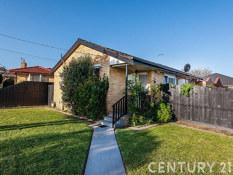
1/3 Surace CourtDandenong North VIC 3175

Property Details for 1/3 Surace Ct, Dandenong North
1/3 Surace Ct, Dandenong North is a 3 bedroom, 1 bathroom Unit with 1 parking spaces and was built in 1975. The property has a land size of 364m2 and floor size of 106m2. While the property is not currently for sale or for rent, it was last transferred in September 2002.
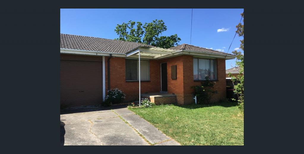
Last Listing description (November 2015)
comes with a garage, gas appliances, AIR CONDITIONER, meals area off kitchen, 3 bedrooms with B.I.Rs & a small rear yard. Situated in a quiet court location close to local shops, transport, schools & freeway access. A MUST TO INSPECT.
Property History for 1/3 Surace Ct, Dandenong North, VIC 3175
- 21 Aug 2015Listed for Rent $310 / week
- 20 Jun 2009Listed for Rent - Price not available
- 18 Sep 2002Transferred
Local Area Liveability Score
This Liveability Score is a rating "out of 10" and a guide to how well connected properties within a local area are to facilities such as public transport, healthcare services, shopping outlets, schools and parkland. The scores apply to the local area (or "mesh block") in which a property is located. The scores are largely comprised of 2 main elements:
- Walking time to a local facility
- Number of facilities within a 20-minute walk
The overall Liveability Score is made up of smaller sub-scores, as described below.
Recent sales nearby
See more recent sales nearbySimilar properties For Sale nearby
See more properties for sale nearby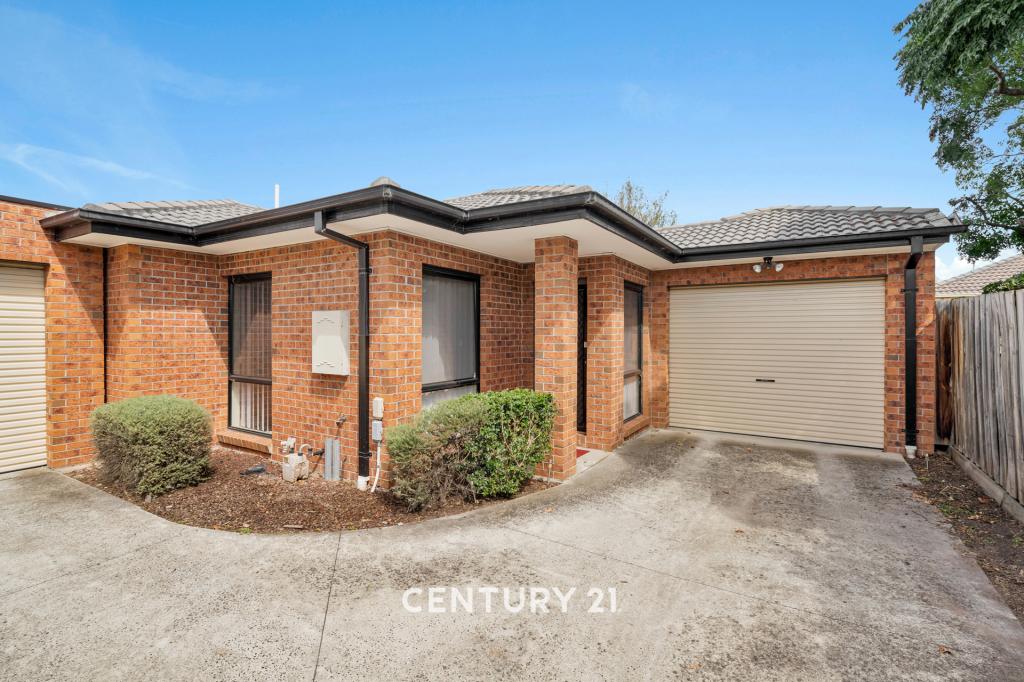

Similar properties For Rent nearby
See more properties for rent nearby
About Dandenong North 3175
The size of Dandenong North is approximately 9.6 square kilometres. It has 27 parks covering nearly 19.3% of total area. The population of Dandenong North in 2016 was 22451 people. By 2021 the population was 22550 showing a population growth of 0.4% in the area during that time. The predominant age group in Dandenong North is 30-39 years. Households in Dandenong North are primarily couples with children and are likely to be repaying $1800 - $2399 per month on mortgage repayments. In general, people in Dandenong North work in a professional occupation.In 2021, 68.70% of the homes in Dandenong North were owner-occupied compared with 68.60% in 2016..
Dandenong North has 9,297 properties. Over the last 5 years, Houses in Dandenong North have seen a 19.37% increase in median value, while Units have seen a 32.82% increase. As at 30 June 2025:
- The median value for Houses in Dandenong North is $766,910 while the median value for Units is $550,956.
- Houses have a median rent of $550 while Units have a median rent of $473.
What's around 1/3 Surace Ct, Dandenong North
1/3 Surace Ct, Dandenong North is in the school catchment zone for Wooranna Park Primary School and Lyndale Secondary College.


Suburb Insights for Dandenong North 3175
Market Insights
Dandenong North Trends for Houses
N/A
N/A
View TrendN/A
N/A
Dandenong North Trends for Units
N/A
N/A
View TrendN/A
N/A
Neighbourhood Insights
Age
Population 22,550
0-9
12%
10-19
12%
20-29
14%
30-39
15%
40-49
13%
50-59
12%
60-69
11%
70-79
8%
80-89
4%
90-99
1%
Household Structure
Occupancy
© Copyright 2025 RP Data Pty Ltd trading as CoreLogic Asia Pacific (CoreLogic). All rights reserved.
This product uses cookies and other similar technologies to improve and customise your browsing experience, to tailor content and adverts, and for analytics and metrics regarding visitor usage on this product and other media. We may share cookie and analytics information with third parties for the purposes of advertising. By continuing to use our website, you consent to cookies being used. View our Privacy Policy here.
X