139 Takalarup RoadTakalarup WA 6324
Property Details for 139 Takalarup Rd, Takalarup
Last Listing description (October 2026)
Approx 45 km's north of Albany in the Plantagenet Shire, 30km's east of Mt Barker on Takalarup Rd.
Excellent undulating country, high on the hill side at the eastern end of the Porongurup Ranges, running down to productive flats.
Estimated grazing country is about 540 to 560 ha's, allowing the opportunity to mix farm here with grain & stock complementing each other.
Top quality soil types from granite loams, gravel loams, sands over gravels and peat swamp country.
Excellent water supplies from ten dams, four soaks, domestic supplies from numerous rainwater tanks.
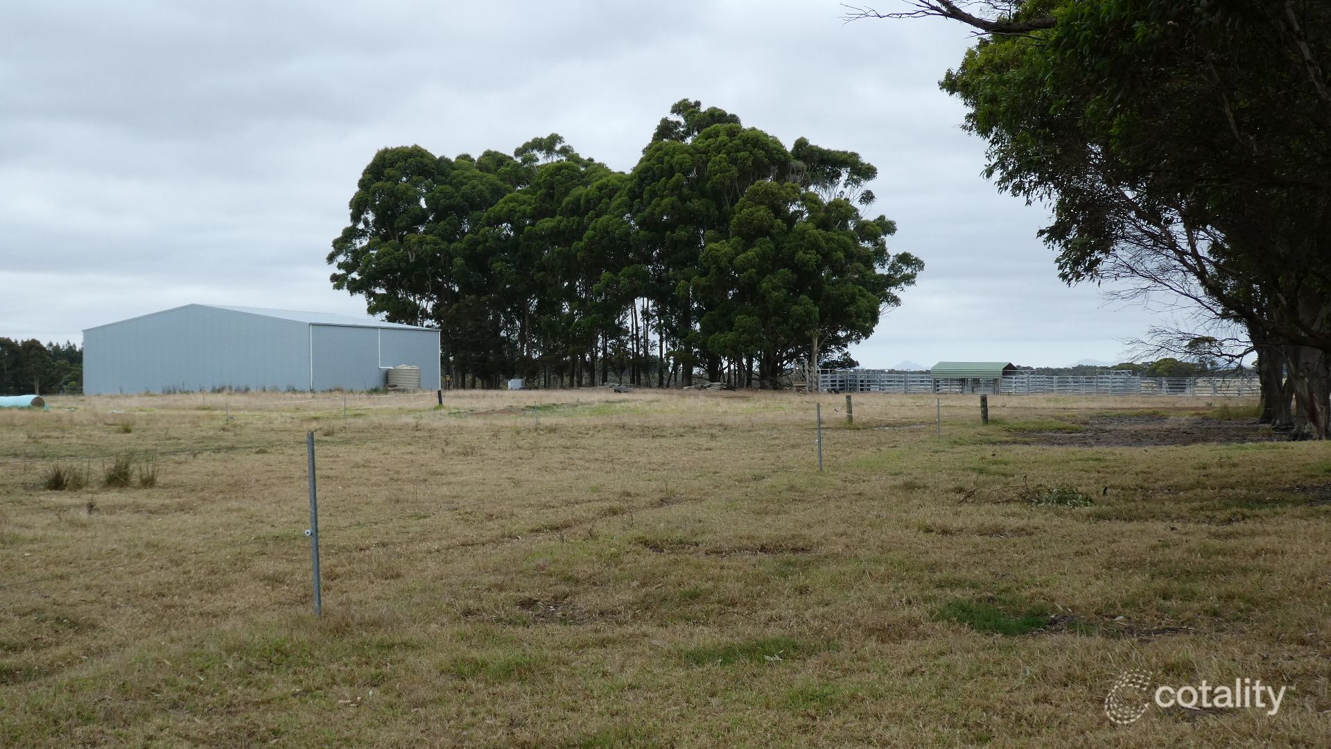
Fifteen main paddocks with two smaller holding paddocks and fencing a mix of electric and some prefabricated wire.
Main Residence: - brick-colourbond three-bedroom homestead, panoramic views over Stirling and Porongurup Ranges and South Coast.
Second homestead three-bedroom cottage, neat and tidy.
Machinery shed, 100 tonne fertiliser shed, workshop machinery storage shed, hay shed, numerous small GP sheds, cattle facilities with covered race & work areas k-rail & wood construction.
Pastures are a mix of clovers, serradella and ryes with areas of kikuyu grass, producing abundant growth for silage and hay fodder.
Excellent fertiliser applications over many years.
For further details call
Neville Tutt 0419 193 500
Peter Hassell 0429 955 066
Property History for 139 Takalarup Rd, Takalarup, WA 6324
- 20 Apr 2026Listed for Sale Expressions of Interest
- 20 Jan 2026Listed for Sale Expressions of Interest
- 18 Jul 2025Listed for Sale Expressions of Interest
Recent sales nearby
See more recent sales nearby
 0


About Takalarup 6324
The size of Takalarup is approximately 441.3 square kilometres. There are 3 parks, covering nearly 1.8% of the total area. The population of Takalarup in 2016 was 101 people. By 2021 the population was 127 showing a population growth of 25.7% in the area during that time. The predominant age group in Takalarup is 50-59 years. Households in Takalarup are primarily childless couples and are likely to be repaying over $4000 per month on mortgage repayments. In general, people in Takalarup work in a managers occupation.In 2021, 56.50% of the homes in Takalarup were owner-occupied compared with 74.20% in 2016.
Takalarup has 104 properties. As at 30 September 2026:
- The median value for Houses in Takalarup is $1,104,612.
Suburb Insights for Takalarup 6324
Market Insights
Takalarup Trends for Houses
N/A
N/A
View TrendN/A
N/A
Takalarup Trends for Units
N/A
N/A
View TrendN/A
N/A
Neighbourhood Insights
© Copyright 2026. RP Data Pty Ltd trading as Cotality (Cotality). All rights reserved. No reproduction, distribution, or transmission of the copyrighted materials is permitted. The information is deemed reliable but not guaranteed.
While Cotality uses commercially reasonable efforts to ensure the Cotality Data is current, Cotality does not warrant the accuracy, currency or completeness of the Cotality Data and to the full extent permitted by law excludes all loss or damage howsoever arising (including through negligence) in connection with the Cotality Data.
This product uses cookies and other similar technologies to improve and customise your browsing experience, to tailor content and adverts, and for analytics and metrics regarding visitor usage on this product and other media. We may share cookie and analytics information with third parties for the purposes of advertising. By continuing to use our website, you consent to cookies being used. View our Privacy Policy here.
X