
80 Potenza AvenueStirling WA 6021
Property Details for 80 Potenza Ave, Stirling
Last Listing description (August 2025)
Seize the opportunity to build your dream home or invest in a piece of Stirling's future with this rare green-titled plot. The strategic location of this block of 218 square metres of flat land, is ready for you to bring your vision to life, complete with all the necessary utilities already in place.
With a substantial 12-metre frontage and 18-metre depth, the space provides ample flexibility for a variety of home designs, catering to the desires of first-time buyers or seasoned investors alike. Located a mere 9 kilometres from the heart of Perth CBD, this block positions you perfectly for both work and leisure.
The land is ideally situated close to an array of amenities, with major shopping centres such as Karrinyup and Westfield Innaloo just a stone's throw away. Commuters will appreciate the proximity to Stirling train and bus stations, ensuring connectivity across the region. Families can take note of the reputable local schools, including Osborne Primary and Balcatta Senior High School, making this a prime location for a growing family.
Points of Interest (approximate):
Osborne Primary School 1.2km
Stirling Train & Bus Station 3km
Westfield Innaloo Shopping Centre 4.3km
Balcatta High School 4.6km
Karrinyup Shopping Centre 6.4km
Scarborough Beach 8.5km
Perth CBD 8.7km
Rates and Dimensions (approximate):
Land Area 218m2
Frontage 12m x 18m depth
Zoned R25 City of Stirling
Council Rates $TBA pa
Water Rates $800 pa
For more information please contact
Tyrone Ha | 0402 193 007 | tyrone.ha@firstclassrealtywa.com.au
DISCLAIMER: While First Class Realty has made every effort in preparing this information and used their best endeavours to ensure that the information contained is true and accurate, we accept no responsibility and disclaim all liability in respect of any errors, inaccuracies or misstatements contained herein. First Class Realty encourages and advises all prospective purchasers to make their own inquiries in order to verify the information contained herein. Photos are for illustration purposes only.
Property History for 80 Potenza Ave, Stirling, WA 6021
- 04 Jul 2025Sold for $465,000
- 22 May 2025Listed for Sale UNDER OFFER by Tyrone Ha
- 06 Nov 2016Listed for Sale From $419,900
Recent sales nearby
See more recent sales nearbySimilar properties For Sale nearby
See more properties for sale nearby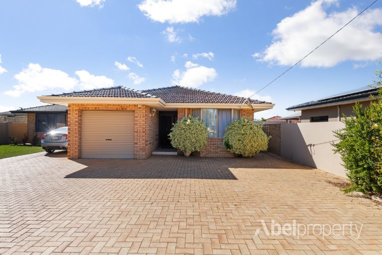 0
0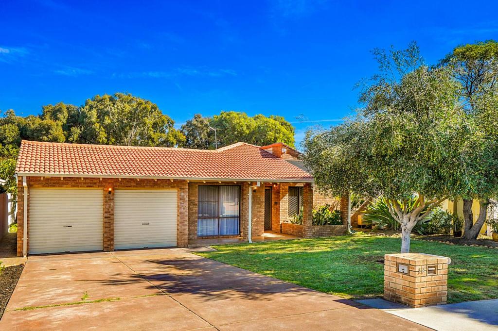 0
0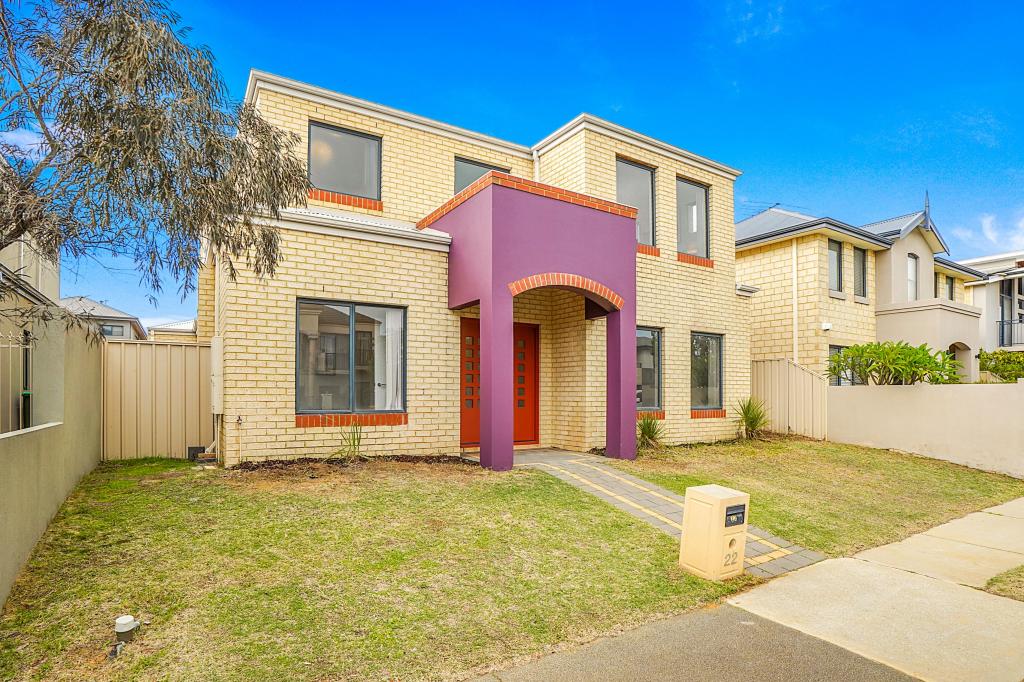 0
0Similar properties For Rent nearby
See more properties for rent nearby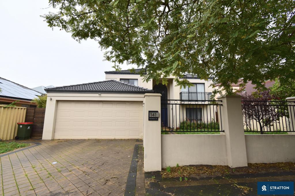 0
0 0
0 0
0About Stirling 6021
The size of Stirling is approximately 4.9 square kilometres. There are 27 parks, covering nearly 16.4% of the total area. The population of Stirling in 2016 was 9676 people. By 2021 the population was 10165 showing a population growth of 5.0% in the area during that time. The predominant age group in Stirling is 40-49 years. Households in Stirling are primarily couples with children and are likely to be repaying $1800 - $2399 per month on mortgage repayments. In general, people in Stirling work in a professional occupation.In 2021, 82.80% of the homes in Stirling were owner-occupied compared with 81.80% in 2016.
Stirling has 4,588 properties. Over the last 5 years, Houses in Stirling have seen a 84.64% increase in median value, while Units have seen a 96.53% increase. As at 31 May 2026:
- The median value for Houses in Stirling is $1,531,820 while the median value for Units is $823,252.
- Houses have a median rent of $965 while Units have a median rent of $700.
Suburb Insights for Stirling 6021
Market Insights
Stirling Trends for Houses
N/A
N/A
View TrendN/A
N/A
Stirling Trends for Units
N/A
N/A
View TrendN/A
N/A
Neighbourhood Insights
© Copyright 2026. RP Data Pty Ltd trading as Cotality (Cotality). All rights reserved. No reproduction, distribution, or transmission of the copyrighted materials is permitted. The information is deemed reliable but not guaranteed.
While Cotality uses commercially reasonable efforts to ensure the Cotality Data is current, Cotality does not warrant the accuracy, currency or completeness of the Cotality Data and to the full extent permitted by law excludes all loss or damage howsoever arising (including through negligence) in connection with the Cotality Data.
This product uses cookies and other similar technologies to improve and customise your browsing experience, to tailor content and adverts, and for analytics and metrics regarding visitor usage on this product and other media. We may share cookie and analytics information with third parties for the purposes of advertising. By continuing to use our website, you consent to cookies being used. View our Privacy Policy here.
X