
431 Seven Hills RoadRoelands WA 6226
Property Details for 431 Seven Hills Rd, Roelands
Last Listing description (November 2017)
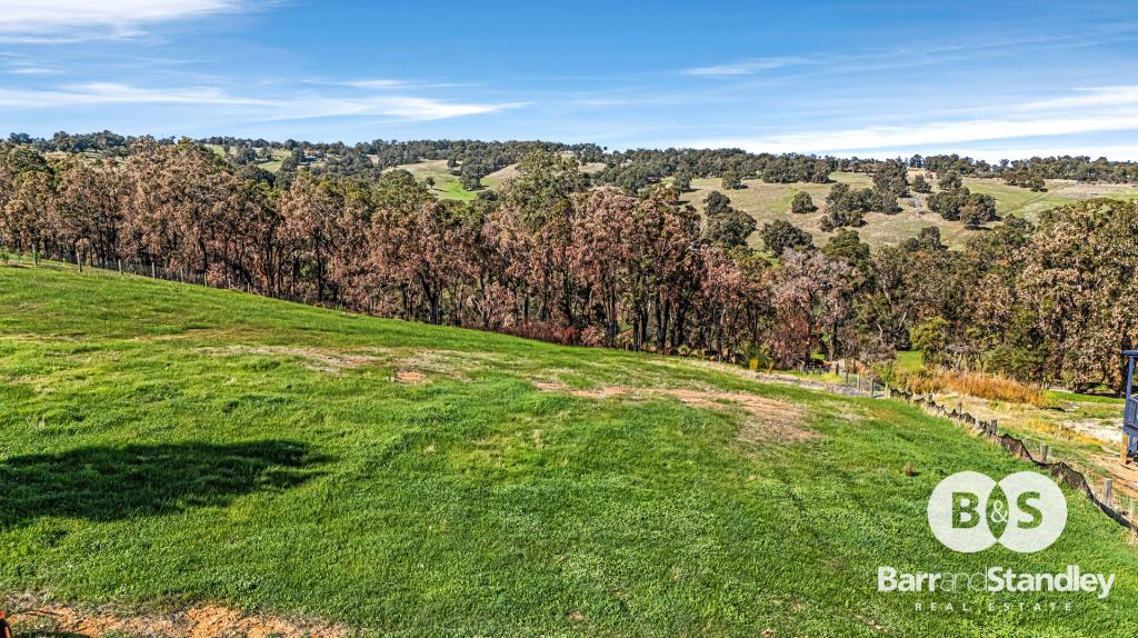
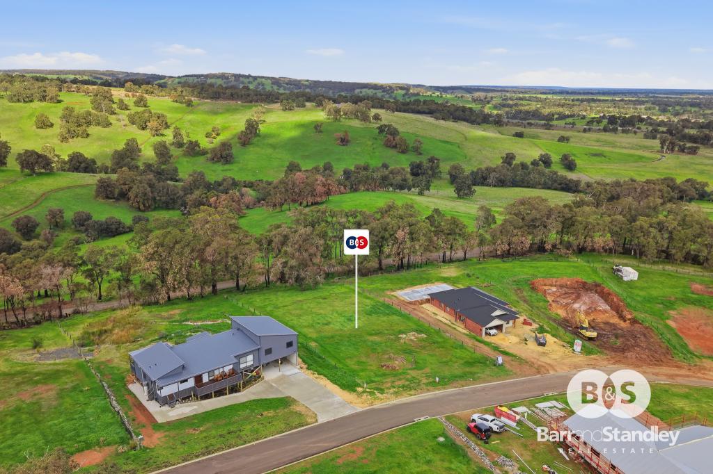
Exquisite location on the Darling Scarp with sweeping views to the Indian Ocean and the City of Bunbury. North boundary on Coalfields Highway and property sweeps down to the Collie River.
Historically this property, purchased in 1928, was part of the Roelands Mission now known as the Roelands Village and sustained with income from citrus, dairy, livestock and potatoes.
Undulating areas of bush, pasture, parkland and river flats. A wonderful lifestyle property with home sites offering many aspects. Children's Orchard has access off Coalfields Highway or meandering Seven Hills Road that runs parallel to the Collie River.
There's overgrown pastured paddocks either side of the irrigation channel with bridges across the channel allowing access to all parts of the property. The winter creek flows south into the Collie River whilst there are large gullies that could be dammed as the water rises on the property and would be ideal for an aquaculture venture.
History of the Children's Orchards is quite interesting as the land purchased in 1928 was approximately 7,000 acres.
Not purchased but swapped by Albany Bell for the 9 bedroom 'Pineapple Estate' house overlooking the Mt Lawley portion of the Swan River. The contract of sale was written on butcher's paper signed by Seller, Di-Castio, Buyer, Albany Bell and agreed with a firm handshake; no money, stamp duty or lawyers involved.
Property History for 431 Seven Hills Rd, Roelands, WA 6226
- 01 Nov 2017Listed for Sale Expressions of Interest
- 14 Apr 2017Sold for $990,000
- 02 Mar 2017Listed for Sale Expressions of Interest
Recent sales nearby
See more recent sales nearby
Similar properties For Sale nearby
See more properties for sale nearby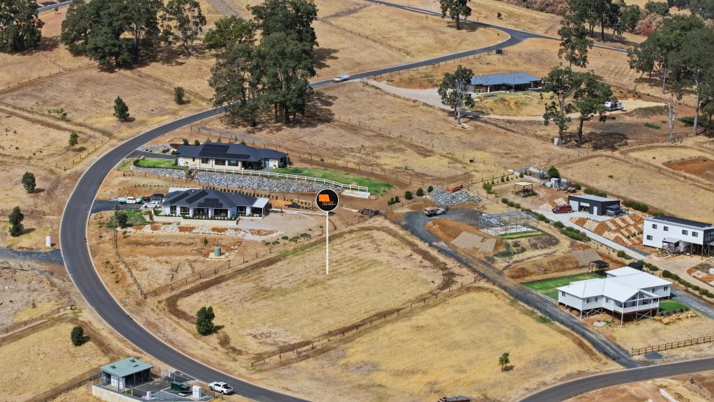 0
0
 0
0
 0
0About Roelands 6226
The size of Roelands is approximately 95.2 square kilometres. There are 2 parks, covering nearly 0.6% of the total area. The population of Roelands in 2016 was 845 people. By 2021 the population was 938 showing a population growth of 11.0% in the area during that time. The predominant age group in Roelands is 10-19 years. Households in Roelands are primarily couples with children and are likely to be repaying $1800 - $2399 per month on mortgage repayments. In general, people in Roelands work in a trades occupation.In 2021, 89.60% of the homes in Roelands were owner-occupied compared with 91.30% in 2016.
Roelands has 536 properties. Over the last 5 years, Houses in Roelands have seen a 75.40% increase in median value. As at 30 June 2026:
- The median value for Houses in Roelands is $1,210,171 while the median value for Units is $432,592.
Suburb Insights for Roelands 6226
Market Insights
Roelands Trends for Houses
N/A
N/A
View TrendN/A
N/A
Roelands Trends for Units
N/A
N/A
View TrendN/A
N/A
Neighbourhood Insights
© Copyright 2026. RP Data Pty Ltd trading as Cotality (Cotality). All rights reserved. No reproduction, distribution, or transmission of the copyrighted materials is permitted. The information is deemed reliable but not guaranteed.
While Cotality uses commercially reasonable efforts to ensure the Cotality Data is current, Cotality does not warrant the accuracy, currency or completeness of the Cotality Data and to the full extent permitted by law excludes all loss or damage howsoever arising (including through negligence) in connection with the Cotality Data.
This product uses cookies and other similar technologies to improve and customise your browsing experience, to tailor content and adverts, and for analytics and metrics regarding visitor usage on this product and other media. We may share cookie and analytics information with third parties for the purposes of advertising. By continuing to use our website, you consent to cookies being used. View our Privacy Policy here.
X