
45 Shepherd StreetHarrisdale WA 6112
Property Details for 45 Shepherd St, Harrisdale
45 Shepherd St, Harrisdale is a 4 bedroom, 1 bathroom House with 1 parking spaces and was built in 1980. The property has a land size of 10289m2 and floor size of 170m2. While the property is not currently for sale or for rent, it was last sold in April 2004.
Last Listing description (November 2015)
10,288 SQM OF PRIME DEVELOPMENT OPPORTUNITY! CURRENTLY ZONED URBAN DEFERRED UNDER THE METROPOLITAN REGIONAL SCHEME. THIS PROPERTY IS DESTINED TO SELL. WITH AN ESTABLISHED CITY CENTRE AND CAREY BAPTIST COLLEGE JUST AROUND THE CORNER, THE PROPERTY PLACEMENT IS NEAR PERFECT. 1.5 KM FROM THE TONKIN HWY AND 6 KM FROM THE ROE HWY, THIS IS PRIME! THIS IS A VERY RARE OPPORTUNITY WITH HUGE POTENTIALS FOR SUBDIVISION! INVEST, DEVELOP OR NEST, THIS IS A PROPERTY NOT TO MISS! MAKE AN OFFER QUICK! WANT MORE LAND? GIVE JASON A CALL ON 0413 337 794. AN OPPORTUNITY LIKE THIS WILL NOT HAPPEN AGAIN SOON!
Property History for 45 Shepherd St, Harrisdale, WA 6112
- 03 Sep 2015Listed for Sale $2,200,000
- 16 Apr 2004Sold for $160,000
- 19 Jun 2001Sold for $262,000

Recent sales nearby
See more recent sales nearbySimilar properties For Sale nearby
See more properties for sale nearby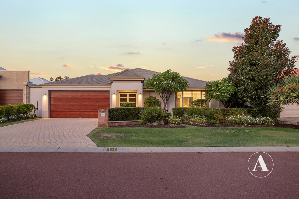 0
0
 0
0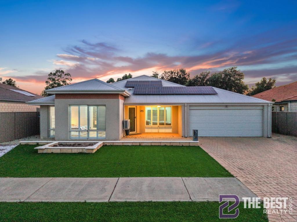 0
0Similar properties For Rent nearby
See more properties for rent nearby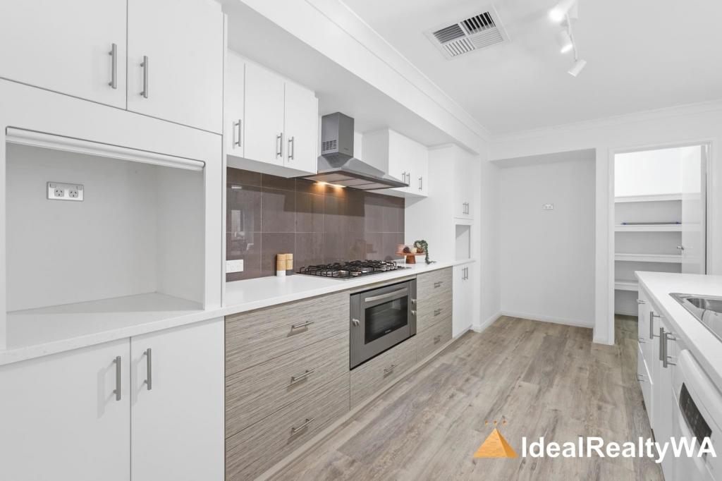 0
0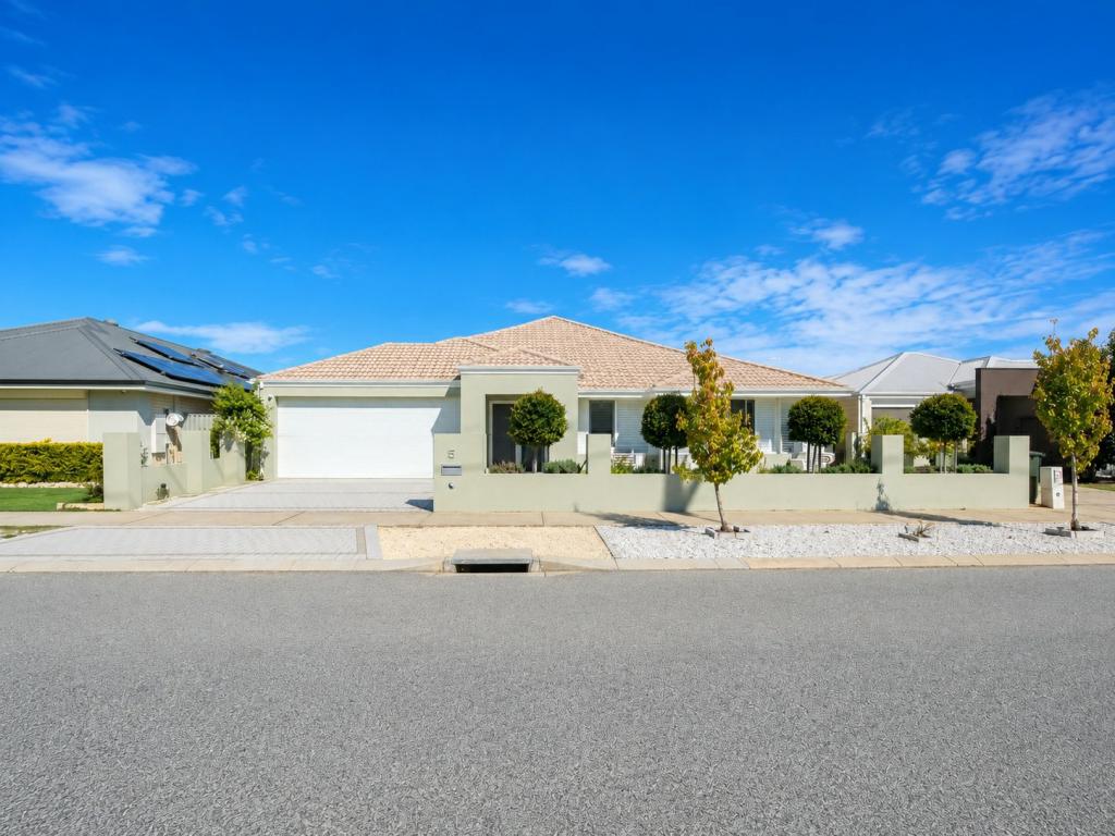 0
0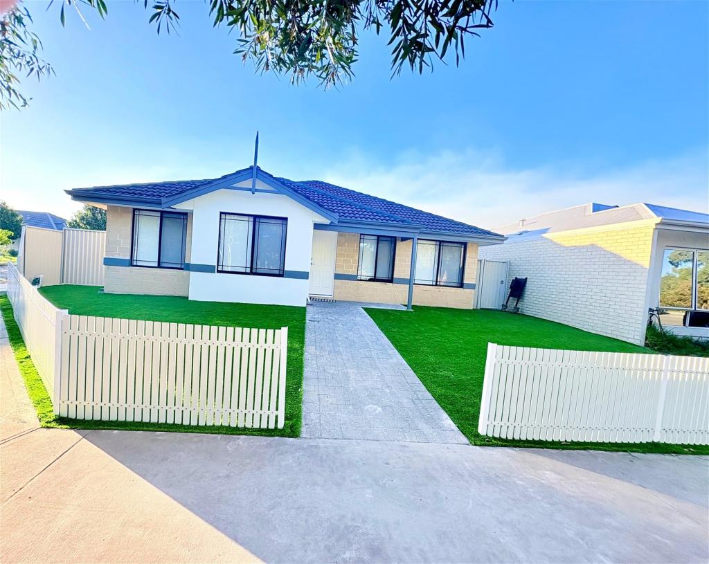 0
0About Harrisdale 6112
The size of Harrisdale is approximately 5.8 square kilometres. It has 19 parks covering nearly 26.3% of total area. The population of Harrisdale in 2016 was 9076 people. By 2021 the population was 11667 showing a population growth of 28.6% in the area during that time. The predominant age group in Harrisdale is 30-39 years. Households in Harrisdale are primarily couples with children and are likely to be repaying $1800 - $2399 per month on mortgage repayments. In general, people in Harrisdale work in a professional occupation.In 2021, 78.70% of the homes in Harrisdale were owner-occupied compared with 79.20% in 2016.
Harrisdale has 5,068 properties. Over the last 5 years, Houses in Harrisdale have seen a 103.90% increase in median value, while Units have seen a 84.53% increase. As at 30 April 2026:
- The median value for Houses in Harrisdale is $1,156,832 while the median value for Units is $884,392.
- Houses have a median rent of $780.
Suburb Insights for Harrisdale 6112
Market Insights
Harrisdale Trends for Houses
N/A
N/A
View TrendN/A
N/A
Harrisdale Trends for Units
N/A
N/A
View TrendN/A
N/A
Neighbourhood Insights
© Copyright 2026. RP Data Pty Ltd trading as Cotality (Cotality). All rights reserved. No reproduction, distribution, or transmission of the copyrighted materials is permitted. The information is deemed reliable but not guaranteed.
While Cotality uses commercially reasonable efforts to ensure the Cotality Data is current, Cotality does not warrant the accuracy, currency or completeness of the Cotality Data and to the full extent permitted by law excludes all loss or damage howsoever arising (including through negligence) in connection with the Cotality Data.
This product uses cookies and other similar technologies to improve and customise your browsing experience, to tailor content and adverts, and for analytics and metrics regarding visitor usage on this product and other media. We may share cookie and analytics information with third parties for the purposes of advertising. By continuing to use our website, you consent to cookies being used. View our Privacy Policy here.
X