
63A Juniper WayForrestfield WA 6058
Property Details for 63a Juniper Way, Forrestfield
63a Juniper Way, Forrestfield is a 4 bedroom, 2 bathroom House and was built in 2025. The property has a land size of 377m2 and floor size of 178m2. While the property is not currently for sale or for rent, it was last sold in August 2025. There are other 4 bedroom House sold in Forrestfield in the last 12 months.
Last Listing description (April 2026)
Discover endless possibilities with this prime block of land nestled in the picturesque foothills of Forrestfield. Offers must be submitted by , May 22nd at 10:00 AM (Note: Seller reserves the right to accept any offer prior to the set date). This survey strata block in Forrestfield offers you the opportunity to build your dream home, which could be a spacious family home or an investment property with five bedrooms. The street is literally surrounded by parks, with access to the nearby Woodlupine Primary School, Hawaiian's Forrestfield, and all of this without ever having to drive onto a road! The land is near level, regular-shaped, and has been cleared of vegetation. A shared driveway leads to the land. There is plenty of space to construct something truly amazing because the block is 377 square meters, not including the driveway. It will be ideal to call this place home.
All of the utilities, including mains sewerage, telephone, electricity, and town water, are accessible for connection. Example of Floorplan is also supplied which is been done for this particular land.
The separations are:
Woodlupine Primary School is 400 meters away, Dawson Park Primary School is 1.3 kilometers away, and Juniper Reserve is 220 meters away.
Edinburgh Road Shopping Center is 450 meters away, while Tonkin Highway is roughly 1 kilometer away.
High Wycombe train station is approximately 5.2 km away; Hawaiian's Forrestfield is 3 minutes (1.7 km) away; Perth International Airport is 10 minutes away by car.
Perth CBD: 28 minutes (20 km); Kalamunda Central: 8 minutes (6 km).
Water rates: $789.24 p/a (approx.) Council rates: $1,146.32 p/a (approx.)
Property History for 63a Juniper Way, Forrestfield, WA 6058
- 26 Aug 2025Sold for $295,000
- 14 Jan 2025Listed for Sale Offers above $290k
- 17 Sep 2024Sold for $281,000

Recent sales nearby
See more recent sales nearbySimilar properties For Sale nearby
See more properties for sale nearby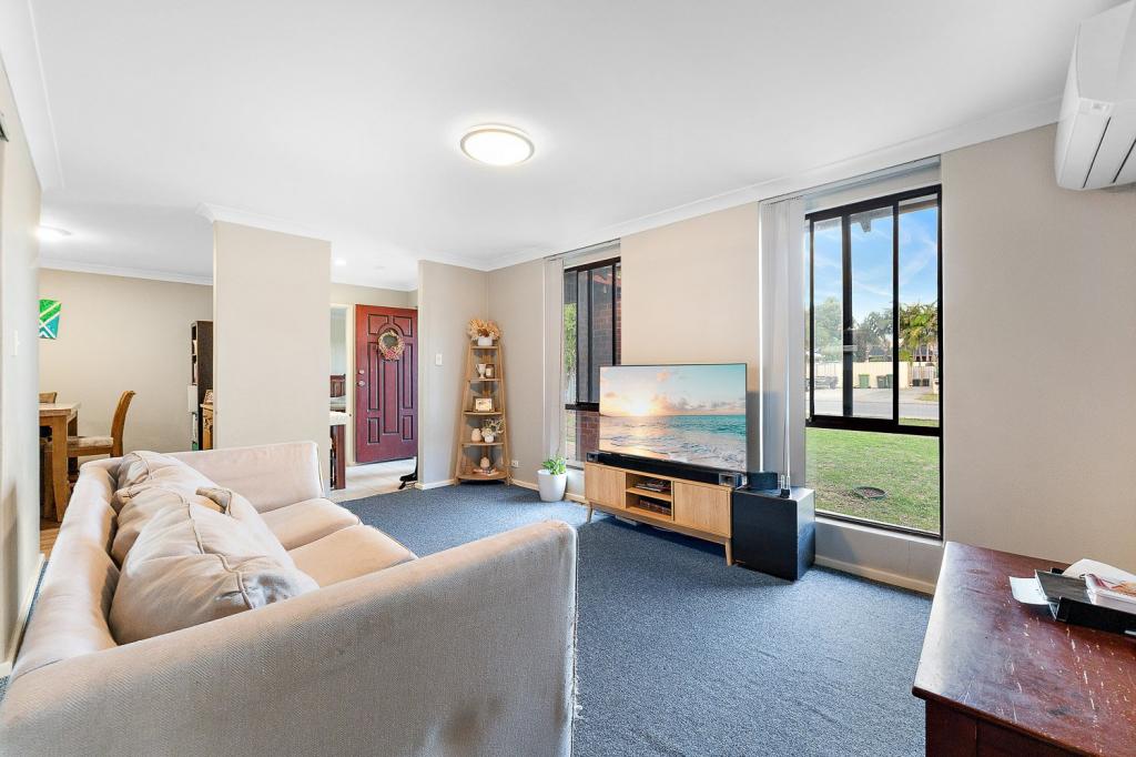 0
0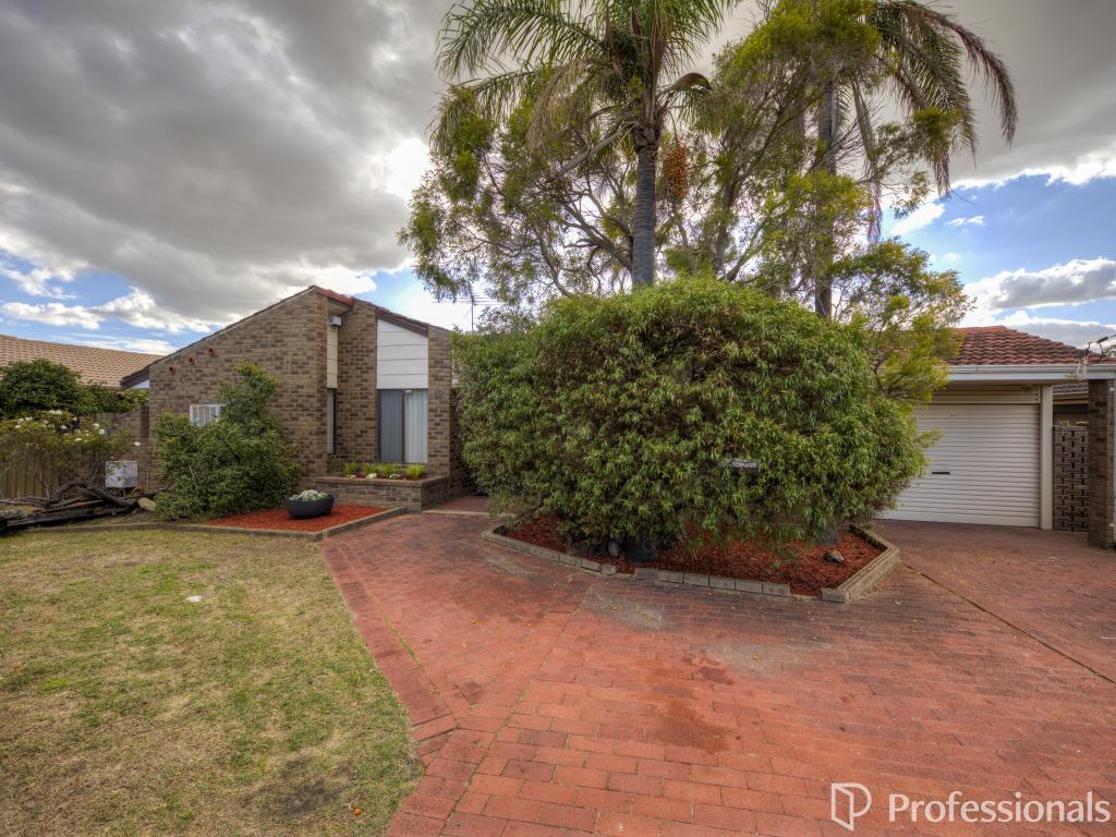 0
0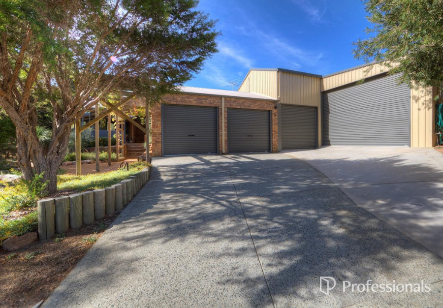 0
0Similar properties For Rent nearby
See more properties for rent nearby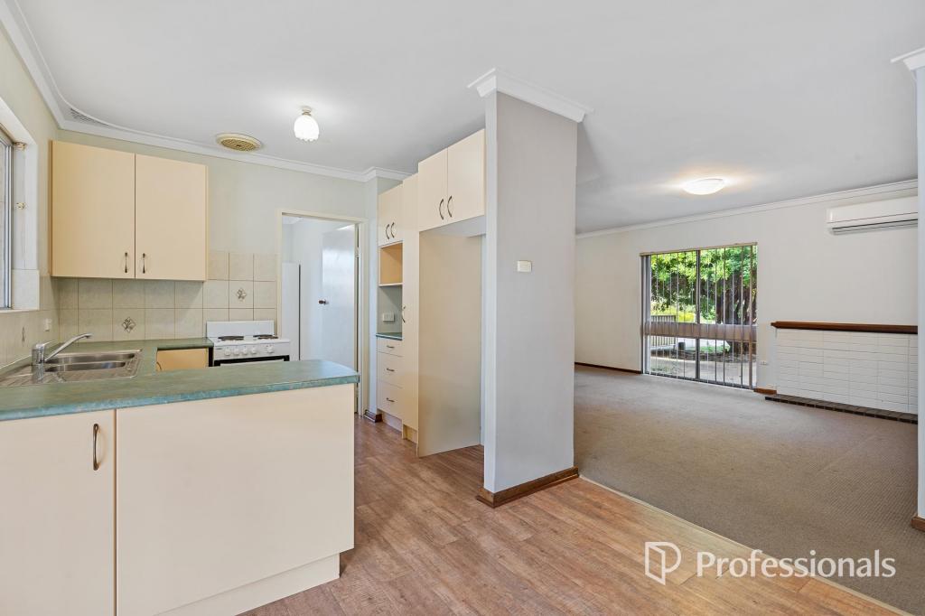 0
0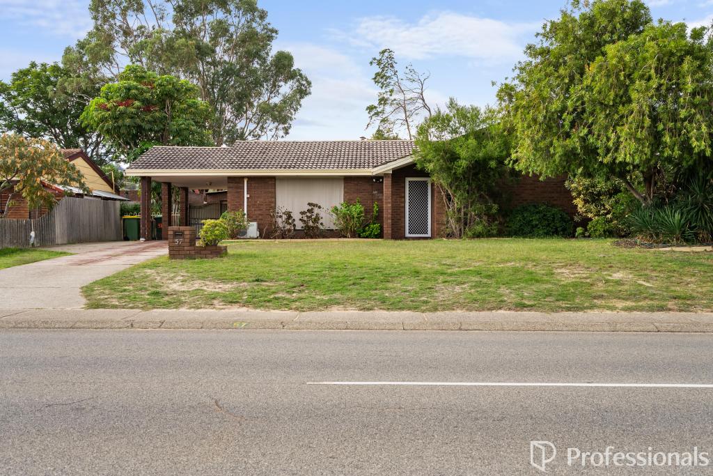 0
0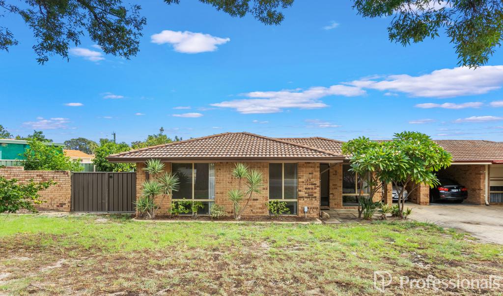 0
0About Forrestfield 6058
The size of Forrestfield is approximately 17.4 square kilometres. It has 22 parks covering nearly 32.4% of total area. The population of Forrestfield in 2016 was 12690 people. By 2021 the population was 13181 showing a population growth of 3.9% in the area during that time. The predominant age group in Forrestfield is 30-39 years. Households in Forrestfield are primarily couples with children and are likely to be repaying $1800 - $2399 per month on mortgage repayments. In general, people in Forrestfield work in a trades occupation.In 2021, 73.10% of the homes in Forrestfield were owner-occupied compared with 73.30% in 2016.
Forrestfield has 6,514 properties. Over the last 5 years, Houses in Forrestfield have seen a 104.05% increase in median value, while Units have seen a 114.91% increase. As at 31 March 2026:
- The median value for Houses in Forrestfield is $898,447 while the median value for Units is $758,292.
- Houses have a median rent of $690 while Units have a median rent of $605.
Suburb Insights for Forrestfield 6058
Market Insights
Forrestfield Trends for Houses
N/A
N/A
View TrendN/A
N/A
Forrestfield Trends for Units
N/A
N/A
View TrendN/A
N/A
Neighbourhood Insights
© Copyright 2026. RP Data Pty Ltd trading as Cotality (Cotality). All rights reserved. No reproduction, distribution, or transmission of the copyrighted materials is permitted. The information is deemed reliable but not guaranteed.
While Cotality uses commercially reasonable efforts to ensure the Cotality Data is current, Cotality does not warrant the accuracy, currency or completeness of the Cotality Data and to the full extent permitted by law excludes all loss or damage howsoever arising (including through negligence) in connection with the Cotality Data.
This product uses cookies and other similar technologies to improve and customise your browsing experience, to tailor content and adverts, and for analytics and metrics regarding visitor usage on this product and other media. We may share cookie and analytics information with third parties for the purposes of advertising. By continuing to use our website, you consent to cookies being used. View our Privacy Policy here.
X