
87 Macfarlane RoadForrestdale WA 6112
Property Details for 87 Macfarlane Rd, Forrestdale
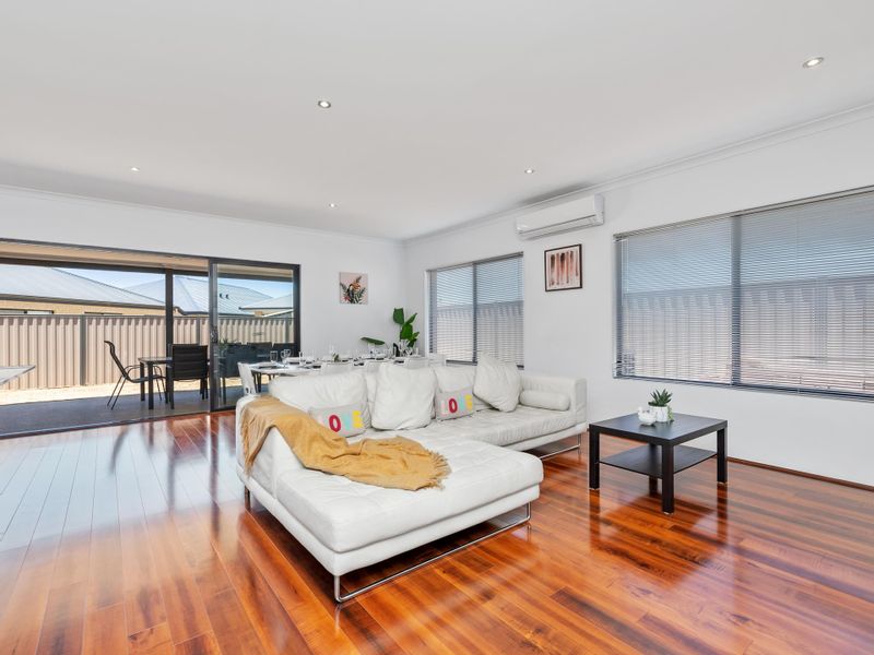
87 Macfarlane Rd, Forrestdale is a 4 bedroom, 2 bathroom House with 2 parking spaces. The property has a land size of 42978m2 and floor size of 206m2. While the property is not currently for sale or for rent, it was last sold in March 2025.
Last Listing description (May 2009)
''DO YOU WANT MY DEVELOPMENT SITE FOR $1.0MILLION BELOW VALUATION?...'n''DO YOU WANT MY DEVELOPMENT SITE FOR $1.0MILLION BELOW VALUATION?...'' COMMERCIAL / INDUSTRIAL SITE IN FORRESTDALE.
RECENTLY VALUED BY HERRON TODD WHITE AT $2.8MILLION.
I NEED TO SELL IN QUICKLY FOR $1.8MILLION WHICH MEANS I HAVE TAKED $1.0MILLION OFF MY PRICE.
NEIGHBOR PAID $2.4M IN 2008.
IF YOU'RE A SERIOUS DEVELOPER, AND YOU CAN AFFORD THE HEAVILY DISCOUNTED $1.8M, PLEASE CALL ME ON 0408 783 688.
I MUST SELL - I WILL SELL TO THE 1ST PERSON WITH THE $1.8M ASKING PRICE. NO NEGOTIATIONS.
Property History for 87 Macfarlane Rd, Forrestdale, WA 6112
- 19 Mar 2025Sold for $6,446,400
- 13 Sep 2009Sold for $2,000,000
- 09 May 2009Listed for Sale Not Disclosed

Recent sales nearby
See more recent sales nearby
Similar properties For Sale nearby
See more properties for sale nearby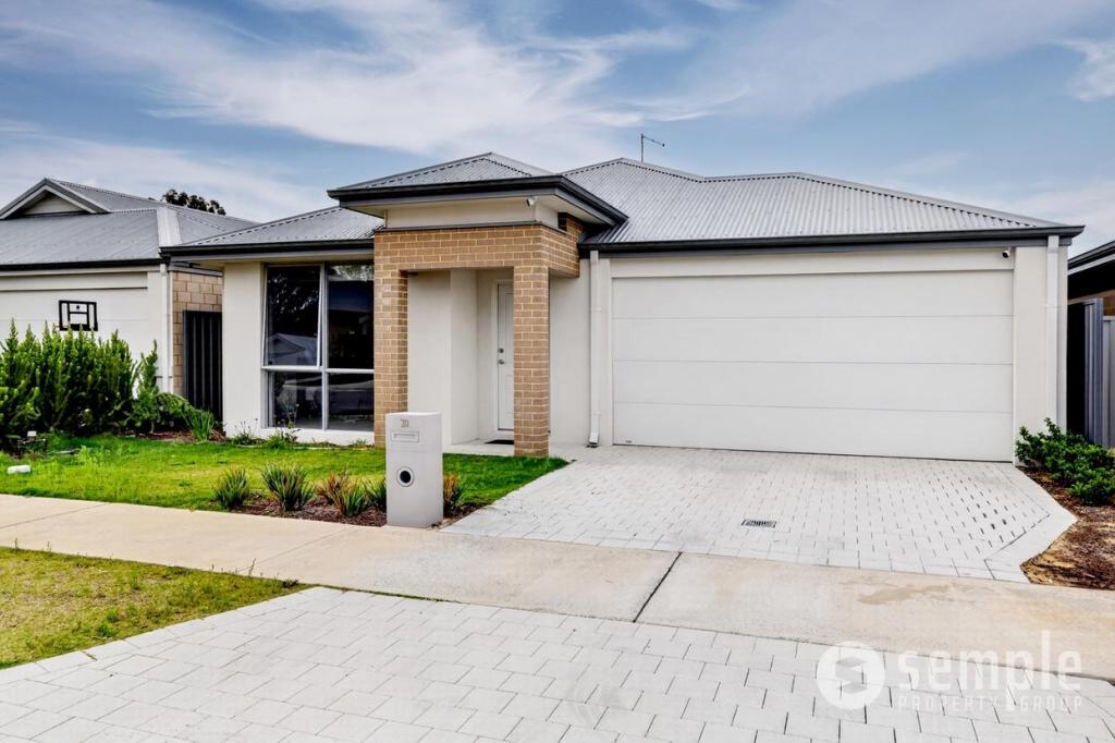 0
0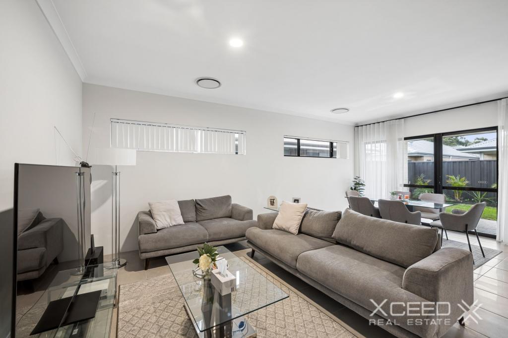 0
0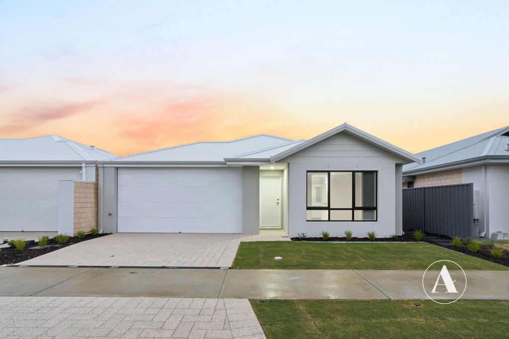 0
0Similar properties For Rent nearby
See more properties for rent nearby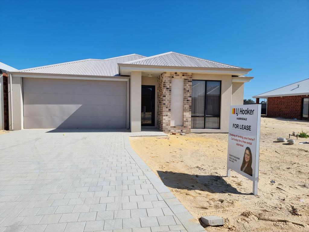 0
0 0
0
 0
0About Forrestdale 6112
The size of Forrestdale is approximately 31.8 square kilometres. There are 12 parks, covering nearly 37.7% of the total area. The population of Forrestdale in 2016 was 1071 people. By 2021 the population was 1027 showing a population decline of 4.1% in the area during that time. The predominant age group in Forrestdale is 50-59 years. Households in Forrestdale are primarily couples with children and are likely to be repaying $1800 - $2399 per month on mortgage repayments. In general, people in Forrestdale work in a trades occupation.In 2021, 78.90% of the homes in Forrestdale were owner-occupied compared with 74.30% in 2016.
Forrestdale has 2,289 properties. Over the last 5 years, Houses in Forrestdale have seen a 95.29% increase in median value, while Units have seen a 44.76% increase. As at 31 May 2026:
- The median value for Houses in Forrestdale is $1,071,857 while the median value for Units is $910,563.
- Houses have a median rent of $750.
Suburb Insights for Forrestdale 6112
Market Insights
Forrestdale Trends for Houses
N/A
N/A
View TrendN/A
N/A
Forrestdale Trends for Units
N/A
N/A
View TrendN/A
N/A
Neighbourhood Insights
© Copyright 2026. RP Data Pty Ltd trading as Cotality (Cotality). All rights reserved. No reproduction, distribution, or transmission of the copyrighted materials is permitted. The information is deemed reliable but not guaranteed.
While Cotality uses commercially reasonable efforts to ensure the Cotality Data is current, Cotality does not warrant the accuracy, currency or completeness of the Cotality Data and to the full extent permitted by law excludes all loss or damage howsoever arising (including through negligence) in connection with the Cotality Data.
This product uses cookies and other similar technologies to improve and customise your browsing experience, to tailor content and adverts, and for analytics and metrics regarding visitor usage on this product and other media. We may share cookie and analytics information with third parties for the purposes of advertising. By continuing to use our website, you consent to cookies being used. View our Privacy Policy here.
X