
35 Stewart StreetPort Welshpool VIC 3965
Property Details for 35 Stewart St, Port Welshpool
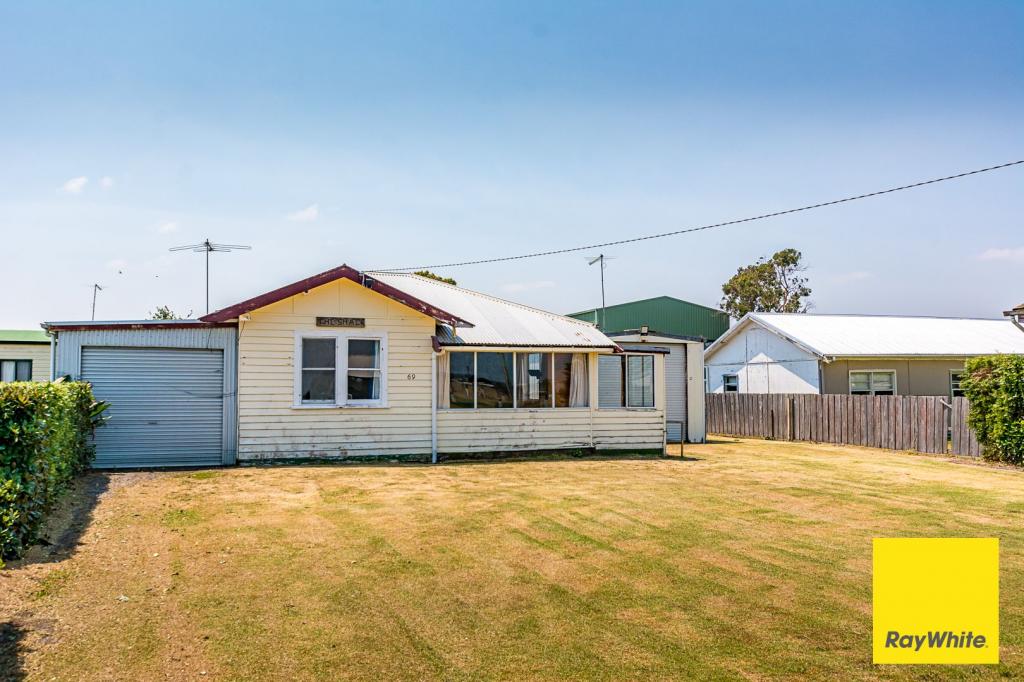
35 Stewart St, Port Welshpool is a 3 bedroom, 2 bathroom House with 1 parking spaces. The property has a land size of 1045m2 and floor size of 103m2. While the property is not currently for sale or for rent, it was last sold in June 2020.
Last Listing description (July 2026)
Beautifully renovated from top to bottom, this impressive three-bedroom, two-bathroom home offers modern comfort, stylish finishes and a coastal lifestyle just moments from the beach.Step inside to discover a warm and inviting interior, where timber flooring flows throughout the open-plan living, dining and kitchen area. The contemporary kitchen is well appointed with stainless steel appliances and plenty of storage, making it the heart of the home. New windows fitted with plantation shutters enhance both the home's appeal and functionality.The stylish central bathroom features a walk-in shower, modern vanity and separate toilet, while all three generous bedrooms include built-in robes.Outside, you'll find a fantastic undercover entertaining area designed for year-round enjoyment. One end has been enclosed with plantation shutters, creating a versatile space with plenty of room for outdoor seating. Whether you're relaxing with family and friends, watching the footy or hosting guests, this inviting area is perfect for making the most of outdoor living in every season.The exterior of the home has been thoughtfully updated, with the original cladding removed and replaced with low-maintenance Colourbond cladding. This modern upgrade not only enhances the home's street appeal but also provides the convenience of minimal upkeep, eliminating the need for regular painting.The spacious backyard offers plenty of room for children and pets to play, with the potential to add an additional shed (STCA).Adding further versatility, the garage is fitted with an external laundry and second bathroom, presenting an excellent opportunity to convert the space into a studio, guest accommodation or a fourth bedroom (STCA).Move straight in and enjoy everything this beautifully presented property has to offer, with the beach, Long Jetty and the popular local pub all just a short stroll away.Contact our office today to arrange your private inspection and see for yourself everything this beautiful coastal home has to offer.
Property History for 35 Stewart St, Port Welshpool, VIC 3965
- 26 Jun 2026Listed for Sale $625,000 - $645,000
- 13 Jun 2020Sold for $290,000
- 17 Mar 2020Listed for Sale $320,000

Recent sales nearby
See more recent sales nearbySimilar properties For Sale nearby
See more properties for sale nearby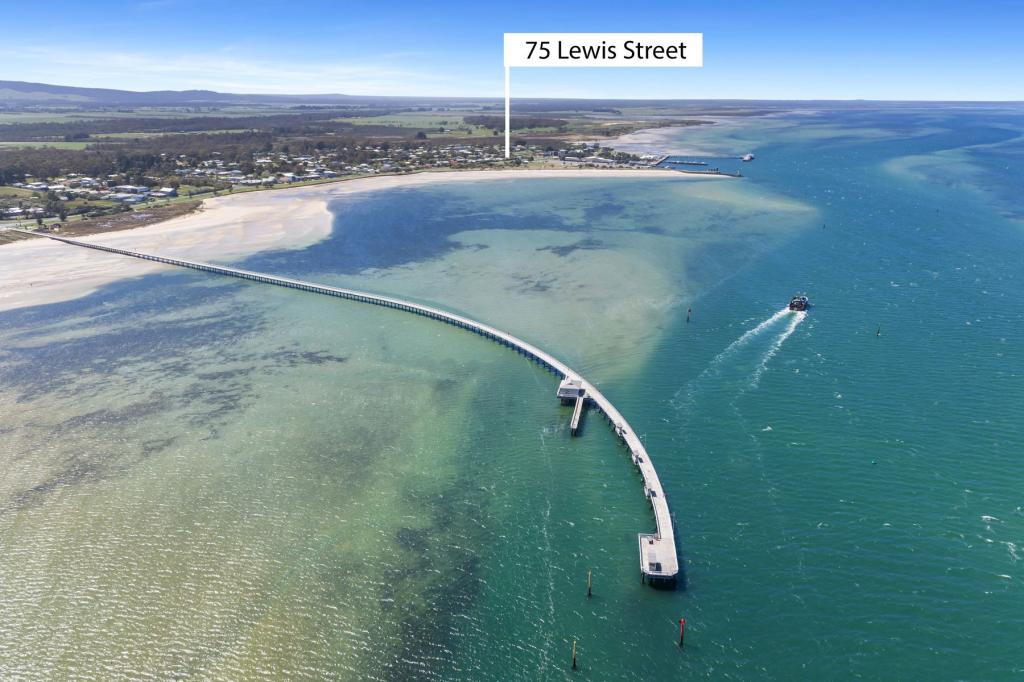 0
0
 0
0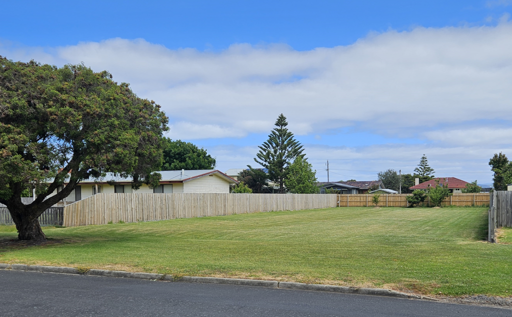 0
0 0
0About Port Welshpool 3965
The size of Port Welshpool is approximately 8.8 square kilometres. There is 1 park, covering nearly 3.4% of the total area. The population of Port Welshpool in 2016 was 209 people. By 2021 the population was 220 showing a population growth of 5.3% in the area during that time. The predominant age group in Port Welshpool is 60-69 years. Households in Port Welshpool are primarily childless couples and are likely to be repaying $800 - $999 per month on mortgage repayments. In general, people in Port Welshpool work in a labourer occupation.In 2021, 84.00% of the homes in Port Welshpool were owner-occupied compared with 87.20% in 2016.
Port Welshpool has 353 properties. Over the last 5 years, Houses in Port Welshpool have seen a 24.34% increase in median value, while Units have seen a 1.86% increase. As at 30 June 2026:
- The median value for Houses in Port Welshpool is $475,448 while the median value for Units is $437,276.
Suburb Insights for Port Welshpool 3965
Market Insights
Port Welshpool Trends for Houses
N/A
N/A
View TrendN/A
N/A
Port Welshpool Trends for Units
N/A
N/A
View TrendN/A
N/A
Neighbourhood Insights
© Copyright 2026. RP Data Pty Ltd trading as Cotality (Cotality). All rights reserved. No reproduction, distribution, or transmission of the copyrighted materials is permitted. The information is deemed reliable but not guaranteed.
While Cotality uses commercially reasonable efforts to ensure the Cotality Data is current, Cotality does not warrant the accuracy, currency or completeness of the Cotality Data and to the full extent permitted by law excludes all loss or damage howsoever arising (including through negligence) in connection with the Cotality Data.
This product uses cookies and other similar technologies to improve and customise your browsing experience, to tailor content and adverts, and for analytics and metrics regarding visitor usage on this product and other media. We may share cookie and analytics information with third parties for the purposes of advertising. By continuing to use our website, you consent to cookies being used. View our Privacy Policy here.
X