
1740 Western Port HighwayPearcedale VIC 3912
Property Details for 1740 Western Port Hwy, Pearcedale
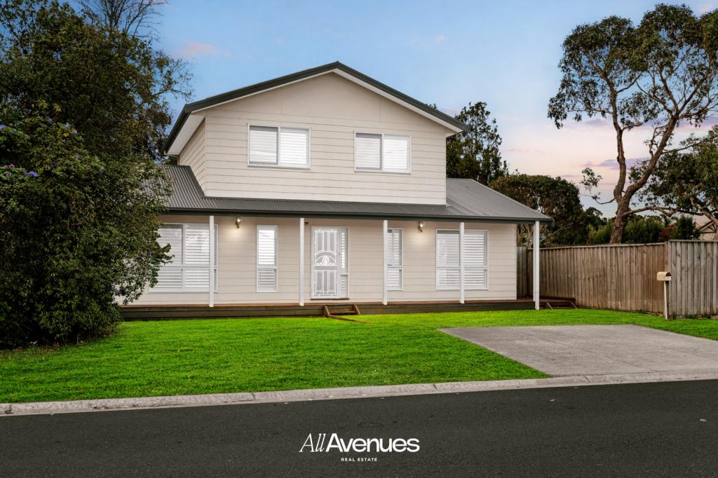
1740 Western Port Hwy, Pearcedale is a 4 bedroom, 2 bathroom House with 3 parking spaces and was built in 1985. The property has a land size of 40471m2 and floor size of 158m2. While the property is not currently for sale or for rent, it was last sold in December 2009.
Last Listing description (December 2009)
COUNTRY LIVING WITH CITY CONVENIENCE
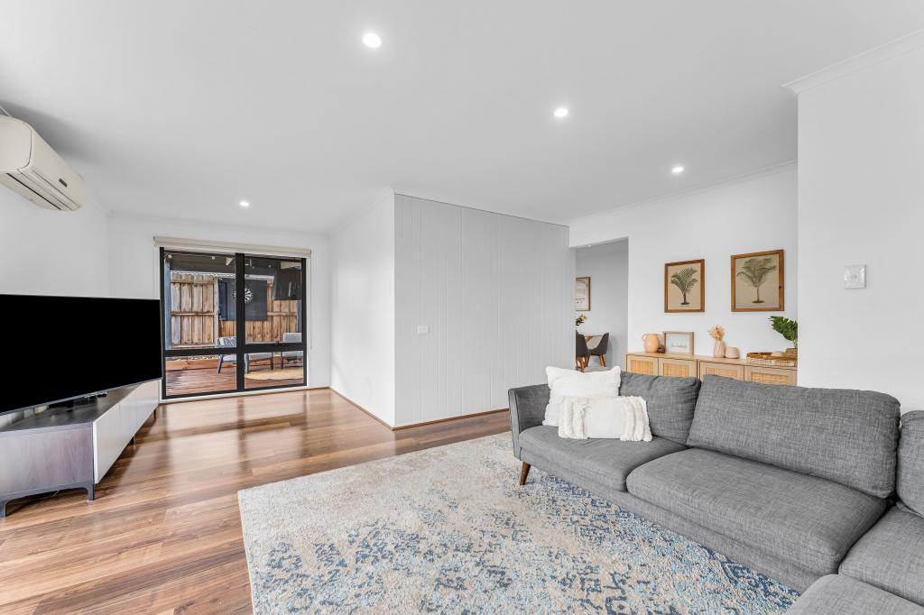
TEN UNDULATING ACRES CLOSE TO PEARCEDALE & LANGWARRIN SHOPPING CENTRE'S, SCHOOLS,TRANSPORT,PROFESSIONAL SUITES AND MUCH MORE. FEATURING OPEN PLAN LIVING,FOUR LARGE BEDROOMS, MODERN TIMBER KITCHEN, FULL ENSUITE, FAMILY BATHROOM ALL WITH THAT COUNTRY FEEL. TWO LARGE STEEL SHEDS IDEAL FOR TRADESMAN'S, HOBBY FARM, STUD FARM OR HOME BUSINESS THE POSSIBILITIES ARE ENDLESS.
ADDITIONAL FEATURE - BUILT-IN WARDROBES.
Property History for 1740 Western Port Hwy, Pearcedale, VIC 3912
- 20 Dec 2009Sold for $730,500
- 09 Mar 2009Listed for Sale $700,000+

Recent sales nearby
See more recent sales nearbySimilar properties For Sale nearby
See more properties for sale nearby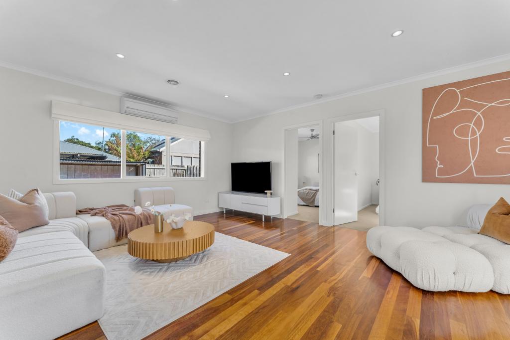 0
0
 0
0
 0
0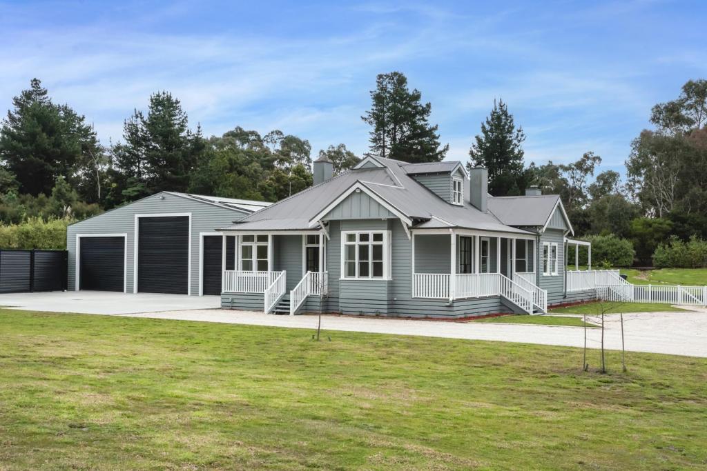 0
0
About Pearcedale 3912
The size of Pearcedale is approximately 33.6 square kilometres. There are 12 parks, covering nearly 2.9% of the total area. The population of Pearcedale in 2016 was 3821 people. By 2021 the population was 3867 showing a population growth of 1.2% in the area during that time. The predominant age group in Pearcedale is 50-59 years. Households in Pearcedale are primarily couples with children and are likely to be repaying $1800 - $2399 per month on mortgage repayments. In general, people in Pearcedale work in a trades occupation.In 2021, 87.80% of the homes in Pearcedale were owner-occupied compared with 87.80% in 2016.
Pearcedale has 1,573 properties. Over the last 5 years, Houses in Pearcedale have seen a 15.23% increase in median value, while Units have seen a 11.65% increase. As at 30 June 2026:
- The median value for Houses in Pearcedale is $987,146 while the median value for Units is $718,361.
- Houses have a median rent of $680.
Suburb Insights for Pearcedale 3912
Market Insights
Pearcedale Trends for Houses
N/A
N/A
View TrendN/A
N/A
Pearcedale Trends for Units
N/A
N/A
View TrendN/A
N/A
Neighbourhood Insights
© Copyright 2026. RP Data Pty Ltd trading as Cotality (Cotality). All rights reserved. No reproduction, distribution, or transmission of the copyrighted materials is permitted. The information is deemed reliable but not guaranteed.
While Cotality uses commercially reasonable efforts to ensure the Cotality Data is current, Cotality does not warrant the accuracy, currency or completeness of the Cotality Data and to the full extent permitted by law excludes all loss or damage howsoever arising (including through negligence) in connection with the Cotality Data.
This product uses cookies and other similar technologies to improve and customise your browsing experience, to tailor content and adverts, and for analytics and metrics regarding visitor usage on this product and other media. We may share cookie and analytics information with third parties for the purposes of advertising. By continuing to use our website, you consent to cookies being used. View our Privacy Policy here.
X