
83 Upper Sturt RoadUpper Sturt SA 5156
Property Details for 83 Upper Sturt Rd, Upper Sturt
83 Upper Sturt Rd, Upper Sturt is a 4 bedroom, 2 bathroom House with 2 parking spaces and was built in 1989. The property has a land size of 2159m2 and floor size of 148m2. While the property is not currently for sale or for rent, it was last transferred in May 2026. There are other 4 bedroom House sold in Upper Sturt in the last 12 months.
Last Listing description (June 2026)
Carved into the Upper Sturt hillside and tucked peacefully away from the road, 83 Upper Sturt Road is a haven that embraces its surroundings at every turn.
Set across 2,159m of lush grounds, a fluid family home flows seamlessly from Hebel faade to valley-facing rear outlooks. Picture windows and French doors draw the outdoors deep into every room, ensuring every vista feels like part of the home itself.
Inside, living zones invite retreat. A central family room, warmed by a roaring combustion heater, turns winter into a season to savour plus ducted air conditioning for summer comfort, while an oversized lounge is framed by concertina doors that peel back to let the views take centre stage. At the heart, an updated kitchen with stainless steel appliances, corner pantry, and breakfast bar keeps weekday routines smooth and entertaining effortless.
A generous central bedroom sits beside an updated family bathroom, while additional wings at either end bookend the footprint with total flexibility. To the east, the main bedroom adjoins a study/retreat and private ensuite; to the west, a mezzanine suite with private loft adapts perfectly as a flexible multigenerational accommodation area or a home office. A versatile bonus room completes the mix, ready to serve as a storage or utility room or bespoke wine cellar
Outside, the grounds are a world of their own. A showpiece deck invites long-table lunches under open skies, while tiered gardens and fruit trees tumble down the slope toward a cubby house and dam. It's a lifestyle that pays dividends - gardens flourish, wildlife returns, hide-and-seek tournaments prosper, and the seasons reward you with a living, breathing landscape that evolves and delights every year.
And while it feels like a private hideaway, the conveniences are never far away, with Upper Sturt General Store, Stirling, Crafers and Blackwood villages, quality schools, Belair National Park, and the Adelaide Hills wine region all just minutes away. Even the CBD is only 20 minutes down the freeway.
Even the suburbs start just 10 minutes away via the freeway tunnels (CBD only 20 minutes).
Secluded yet connected, private yet inviting, intimate yet expansive - this is hills living at its finest.
More to love:
2159sqm parcel
C1989 timber frame home with fire resistant Hebelcladding
Full insulation to ceilings, floors, and walls
Extensive off-street parking
Mains water connection
Ducted air conditioning can be independently controlled to 4 zones, with additional split system to western bedroom
Combustion wood burner to family room
Ceiling fans
Raked ceilings
Separate laundry with exterior access to utility courtyard
Updated kitchen with stainless steel dishwasher, gas cooktop and electric oven, corner pantry with powerpoints, and brand-new benchtops and splashback tiling
Extensive storage throughout, including built in robes to bedrooms
Plush carpets and new Oak timber laminate flooring
Rinnai gas hot water service with interior temperature control panel
Established fruit trees, including apricot, pear, nectarine, apple, and 12 cherry
Local wildlife, including koalas, kookaburras, kangaroos, lorikeets/ parrots and ducks regularly visiting
Water sprinkler system to roof
Dual garden sheds
Environmentally friendly Envirocycle waste disposal
Specifications:
CT / 5224/551
Council / Adelaide Hills
Zoning / RuN
Built / 1989
Land / 2159m2 (approx)
Council Rates / $2206.06pa
Emergency Services Levy / $134.90pa
SA Water / $82.30pq
Estimated rental assessment / $720 - $770 per week / Written rental assessment can be provided upon request
Nearby Schools / Upper Sturt P.S, Crafers P.S, Stirling East P.S, Heathfield H.S
Disclaimer: All information provided has been obtained from sources we believe to be accurate, however, we cannot guarantee the information is accurate and we accept no liability for any errors or omissions (including but not limited to a property's land size, floor plans and size, building age and condition). Interested parties should make their own enquiries and obtain their own legal and financial advice. Should this property be scheduled for auction, the Vendor's Statement may be inspected at any Harris Real Estate office for 3 consecutive business days immediately preceding the auction and at the auction for 30 minutes before it starts. RLA | 343103
Property History for 83 Upper Sturt Rd, Upper Sturt, SA 5156
- 11 Jun 2026Transferred
- 13 May 2026Sold
- 08 Apr 2026Listed for Sale $950,000-$1,045,000

Recent sales nearby
See more recent sales nearbySimilar properties For Sale nearby
See more properties for sale nearby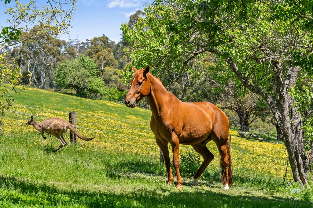 0
0
 0
0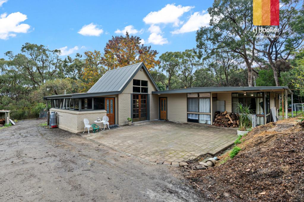 0
0
Similar properties For Rent nearby
See more properties for rent nearby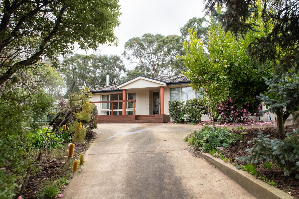 0
0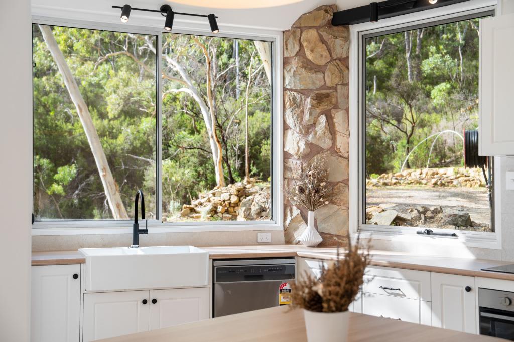 0
0About Upper Sturt 5156
The size of Upper Sturt is approximately 7.7 square kilometres. There are 5 parks, covering nearly 8.4% of the total area. The population of Upper Sturt in 2016 was 951 people. By 2021 the population was 1005 showing a population growth of 5.7% in the area during that time. The predominant age group in Upper Sturt is 40-49 years. Households in Upper Sturt are primarily couples with children and are likely to be repaying $1800 - $2399 per month on mortgage repayments. In general, people in Upper Sturt work in a professional occupation.In 2021, 89.50% of the homes in Upper Sturt were owner-occupied compared with 91.10% in 2016.
Upper Sturt has 442 properties. Over the last 5 years, Houses in Upper Sturt have seen a 69.17% increase in median value. As at 30 June 2026:
- The median value for Houses in Upper Sturt is $1,486,820 while the median value for Units is $425,354.
Suburb Insights for Upper Sturt 5156
Market Insights
Upper Sturt Trends for Houses
N/A
N/A
View TrendN/A
N/A
Upper Sturt Trends for Units
N/A
N/A
View TrendN/A
N/A
Neighbourhood Insights
© Copyright 2026. RP Data Pty Ltd trading as Cotality (Cotality). All rights reserved. No reproduction, distribution, or transmission of the copyrighted materials is permitted. The information is deemed reliable but not guaranteed.
While Cotality uses commercially reasonable efforts to ensure the Cotality Data is current, Cotality does not warrant the accuracy, currency or completeness of the Cotality Data and to the full extent permitted by law excludes all loss or damage howsoever arising (including through negligence) in connection with the Cotality Data.
This product uses cookies and other similar technologies to improve and customise your browsing experience, to tailor content and adverts, and for analytics and metrics regarding visitor usage on this product and other media. We may share cookie and analytics information with third parties for the purposes of advertising. By continuing to use our website, you consent to cookies being used. View our Privacy Policy here.
X