
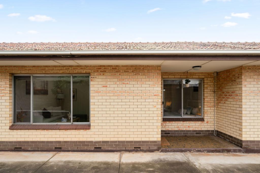
2/9 Everard AvenueAshford SA 5035
Property Details for 2/9 Everard Ave, Ashford
2/9 Everard Ave, Ashford is a 2 bedroom, 1 bathroom Unit with 1 parking spaces and was built in 1975. The property has a land size of 105m2 and floor size of 95m2. While the property is not currently for sale or for rent, it was last transferred in September 2021.
Last Listing description (September 2016)
This easy to maintain well presented 2 Bedroom unfurnished single storey unit is located in a small group of four close to public transport and the city. Private & Secure.
It comprises of a separate lounge with a gas heater and a dining room off the kitchen.
Kitchen is compact with views over the back courtyard and has a gas stove.
Ducted Evaporative Airconditioning. Roller Shutters
There is a laundry off the kitchen which opens onto a private courtyard and the single lock-up garage
This unit is a must to inspect !!!
Pets Negotiable
Property History for 2/9 Everard Ave, Ashford, SA 5035
- 08 Sep 2021Transferred
- 30 Sep 2020Sold for $1,390,000
- 29 Aug 2016Listed for Rent - Price not available

Recent sales nearby
See more recent sales nearby
Similar properties For Sale nearby
See more properties for sale nearby
 0
0 0
0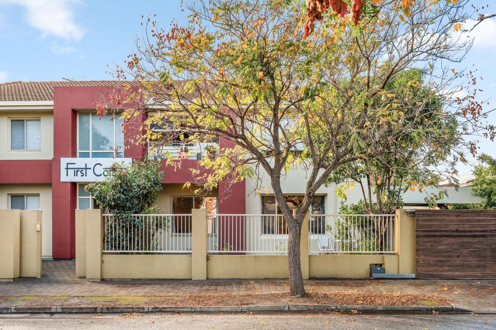 0
0Similar properties For Rent nearby
See more properties for rent nearby 0
0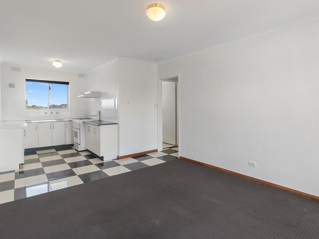 0
0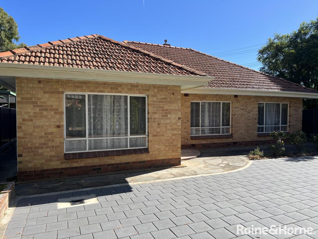 0
0About Ashford 5035
The size of Ashford is approximately 0.3 square kilometres. The population of Ashford in 2016 was 959 people. By 2021 the population was 1157 showing a population growth of 20.6% in the area during that time. The predominant age group in Ashford is 30-39 years. Households in Ashford are primarily couples with children and are likely to be repaying $1800 - $2399 per month on mortgage repayments. In general, people in Ashford work in a professional occupation.In 2021, 40.30% of the homes in Ashford were owner-occupied compared with 43.60% in 2016.
Ashford has 707 properties. Over the last 5 years, Houses in Ashford have seen a 57.51% increase in median value, while Units have seen a 108.67% increase. As at 31 May 2026:
- The median value for Houses in Ashford is $1,111,022 while the median value for Units is $628,845.
- Houses have a median rent of $825 while Units have a median rent of $555.
Suburb Insights for Ashford 5035
Market Insights
Ashford Trends for Houses
N/A
N/A
View TrendN/A
N/A
Ashford Trends for Units
N/A
N/A
View TrendN/A
N/A
Neighbourhood Insights
© Copyright 2026. RP Data Pty Ltd trading as Cotality (Cotality). All rights reserved. No reproduction, distribution, or transmission of the copyrighted materials is permitted. The information is deemed reliable but not guaranteed.
While Cotality uses commercially reasonable efforts to ensure the Cotality Data is current, Cotality does not warrant the accuracy, currency or completeness of the Cotality Data and to the full extent permitted by law excludes all loss or damage howsoever arising (including through negligence) in connection with the Cotality Data.
This product uses cookies and other similar technologies to improve and customise your browsing experience, to tailor content and adverts, and for analytics and metrics regarding visitor usage on this product and other media. We may share cookie and analytics information with third parties for the purposes of advertising. By continuing to use our website, you consent to cookies being used. View our Privacy Policy here.
X