
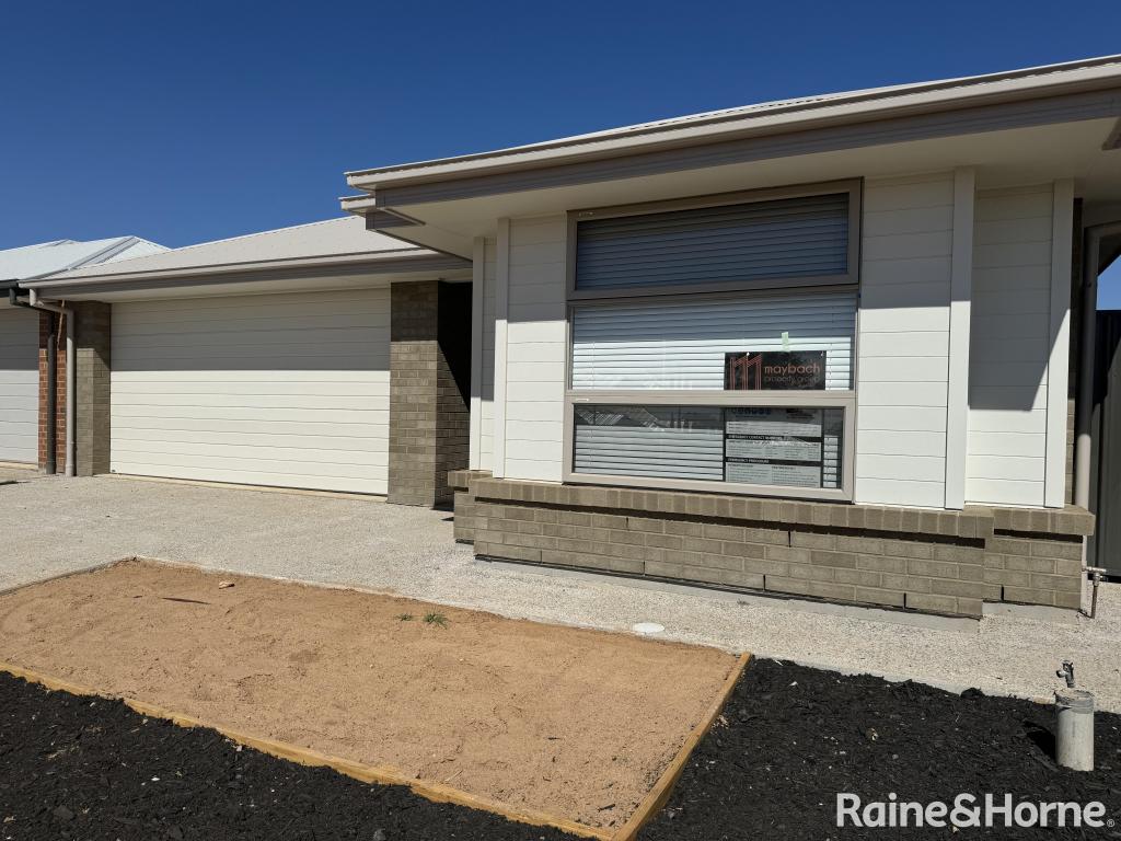
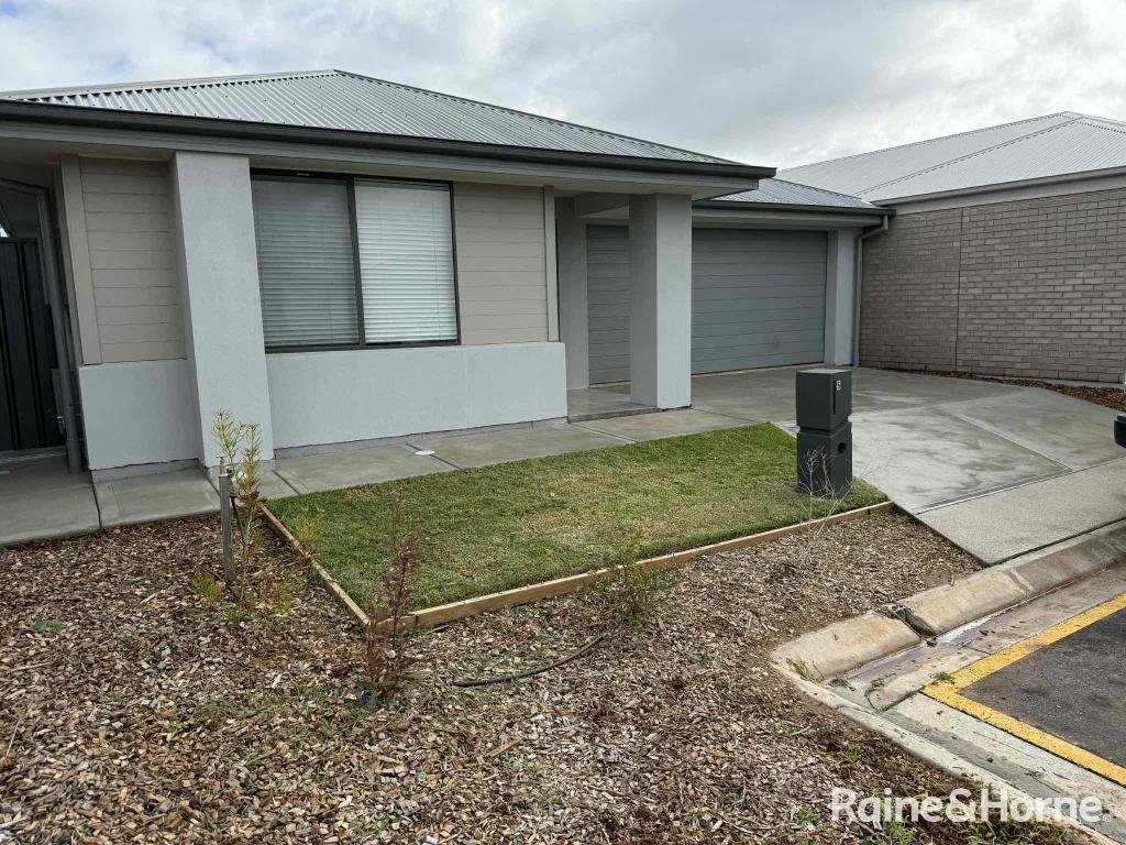
503 Stebonheath RoadAndrews Farm SA 5114

Thinking about insurance?
Get estimated rebuild costs for this property with Sum SureProperty Details for 503 Stebonheath Rd, Andrews Farm
503 Stebonheath Rd, Andrews Farm is a 4 bedroom, 2 bathroom House with 2 parking spaces and was built in 2015. The property has a land size of 448m2 and floor size of 235m2. While the property is not currently for sale or for rent, it was last sold in October 2015.
Last Listing description (October 2017)
North Lakes Estate is an intimate master planned environment that seamlessly extends the already established community. Located opposite the golf course - these limited allotments are already at practical completion with roads, street lights and services all ready for your construction to begin immediately.
Offering a choice of allotments to suit a variety of designs and budgets your ideal allotment awaits. With prices starting from $90,000 and allotment sizes up to 567m2 don't hesitate to contact us to discuss how we can match your needs. Bring your own design to the table or choose from a selection of quality builders with packages made to suit.
Northern living has never been so exciting with the new $250 million Playford Alive Town Centre, Munno Para Shopping Centre, and a great choice of schools all easily accessed via the Northern Expressway or the Gawler Adelaide train.
*$115,000 advertised price is for standard 346m2 allotment with 15m frontage. Contact agent for other available options.
**$15,000 First Home Owners Grant may be available to eligible purchasers.
Property History for 503 Stebonheath Rd, Andrews Farm, SA 5114
- 30 Aug 2017Listed for Sale From $90,000
- 02 Oct 2015Sold for $122,000

Recent sales nearby
See more recent sales nearbySimilar properties For Sale nearby
See more properties for sale nearby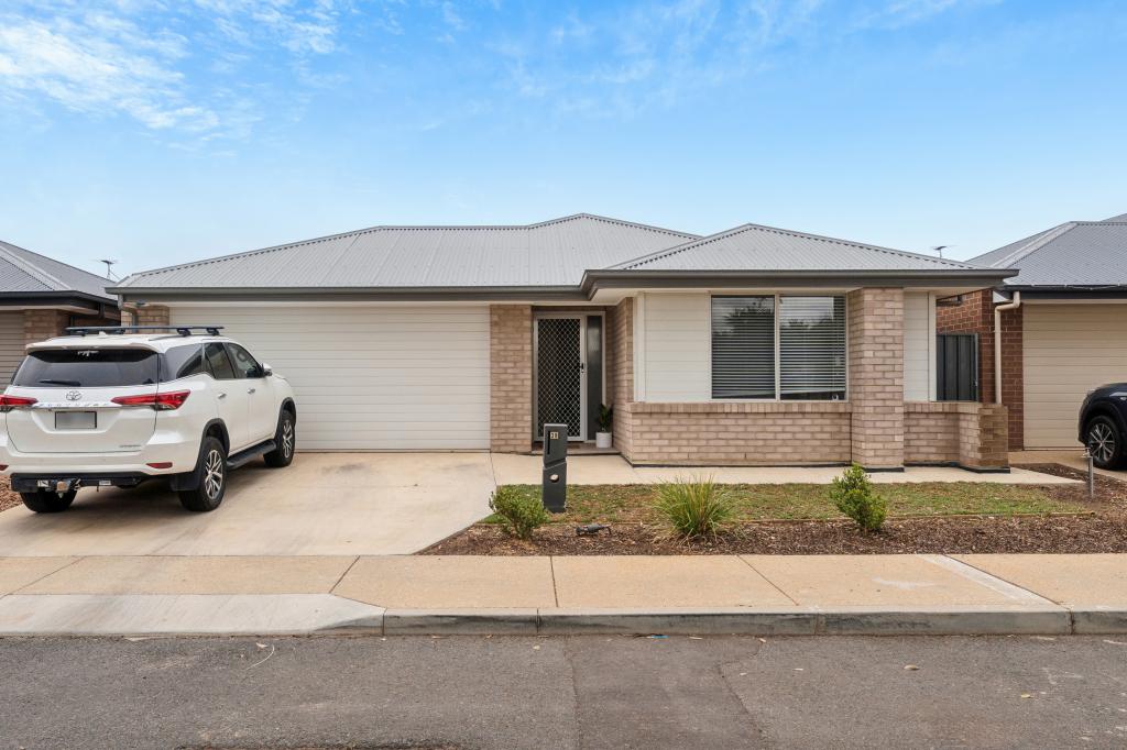


Similar properties For Rent nearby
See more properties for rent nearby
About Andrews Farm 5114
The size of Andrews Farm is approximately 4.0 square kilometres. It has 24 parks covering nearly 9.0% of total area. The population of Andrews Farm in 2016 was 8043 people. By 2021 the population was 8699 showing a population growth of 8.2% in the area during that time. The predominant age group in Andrews Farm is 0-9 years. Households in Andrews Farm are primarily couples with children and are likely to be repaying $1000 - $1399 per month on mortgage repayments. In general, people in Andrews Farm work in a community and personal service occupation.In 2021, 58.50% of the homes in Andrews Farm were owner-occupied compared with 55.80% in 2016..
Andrews Farm has 4,420 properties. Over the last 5 years, Houses in Andrews Farm have seen a 149.27% increase in median value, while Units have seen a 124.15% increase. As at 30 June 2025:
- The median value for Houses in Andrews Farm is $633,241 while the median value for Units is $481,633.
- Houses have a median rent of $550 while Units have a median rent of $455.
What's around 503 Stebonheath Rd, Andrews Farm
503 Stebonheath Rd, Andrews Farm is in the school catchment zone for John Hartley School (B-7) and Mark Oliphant College (B-12).


Suburb Insights for Andrews Farm 5114
Market Insights
Andrews Farm Trends for Houses
N/A
N/A
View TrendN/A
N/A
Andrews Farm Trends for Units
N/A
N/A
View TrendN/A
N/A
Neighbourhood Insights
Age
Population 8,699
0-9
19%
10-19
16%
20-29
17%
30-39
18%
40-49
11%
50-59
9%
60-69
6%
70-79
3%
80-89
1%
Household Structure
Occupancy
© Copyright 2025 RP Data Pty Ltd trading as CoreLogic Asia Pacific (CoreLogic). All rights reserved.
This product uses cookies and other similar technologies to improve and customise your browsing experience, to tailor content and adverts, and for analytics and metrics regarding visitor usage on this product and other media. We may share cookie and analytics information with third parties for the purposes of advertising. By continuing to use our website, you consent to cookies being used. View our Privacy Policy here.
X