
18/30 Mudgeeraba RoadMudgeeraba QLD 4213
Property Details for 18/30 Mudgeeraba Rd, Mudgeeraba
Last Listing description (January 2023)
Mudgeeraba Industrial Park
~ 235m including 62m mezzanine office
~ Mezzanine office finished with laminate flooring, venetian blinds, LED lighting and 2 split system a/c units
~ High access roller door (electrically operated)
~ Office/reception area - with a split system a/c unit, LED lighting and new carpet (including stairs)
~ Painted internal walls
~ Painted warehouse floor
~ 3 Phase power to sub board
~ Under cover parking for 2 vehicles
~ LED High bay lighting to warehouse
~ Private toilet
~ Kitchenette on each level
~ Insulated roof
~ Concrete tilt panel construction
~ Central location just off M1
~ Some of the major outgoings include:
Council rates: $1,753.56 (for half year of 1 July 2022 to 31 December 2022)(Information has be supplied by the vendor)
Body Corporate: $658.02 (for quarter of 01/11/22 to 31/01/23)(Information has be supplied by the vendor)
Water rates: $280.94 (for period of 31 May 2022 to 24 August 2022)(Information has be supplied by the vendor)
GENERAL TERMS OF SALE:
~ Price: $850,000 plus GST
~ Deposit: 10% upon signing of contract
~ Settlement: 30 days from the date of contract
Disclaimer: Areas quoted are subject to survey and may or may not include mezzanine levels. Prices are exclusive of GST unless otherwise specified and subject to change without notice. Every effort has been made to ensure the accuracy of these particulars but no warranty is given by the Vendor or the Agent as to their accuracy and no warranty is given by the agent in respect of the compliance with regulation or the structure of any office fit-out, mezzanine floors or other alterations. Interested parties should not rely on these particulars as representations of fact but must satisfy themselves by other means. Diagrams are for illustration only.
~ Please note that some photos used with this listing may be from our archive file
Property History for 18/30 Mudgeeraba Rd, Mudgeeraba, QLD 4213
- 20 Feb 2023Sold - Price Undisclosed
- 06 Dec 2022Listed for Sale UNDER CONTRACT
- 17 Jun 2019Listed for Rent - Price not available
Recent sales nearby
See more recent sales nearbySimilar properties For Sale nearby
See more properties for sale nearby 0
0
 0
0 0
0
Similar properties For Rent nearby
See more properties for rent nearby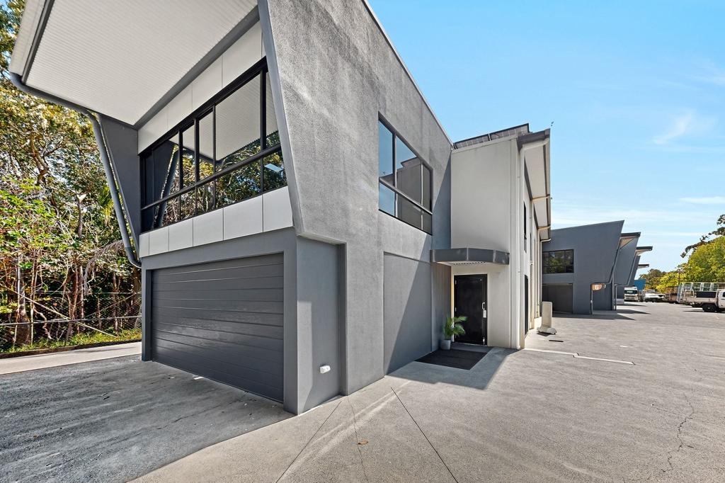 0
0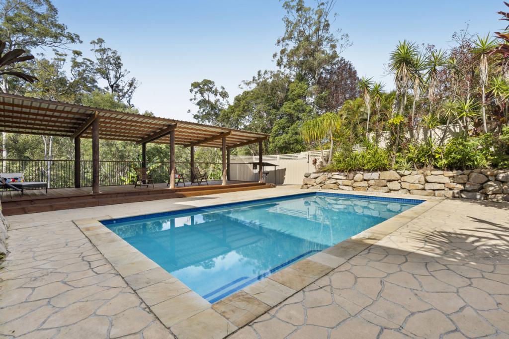 0
0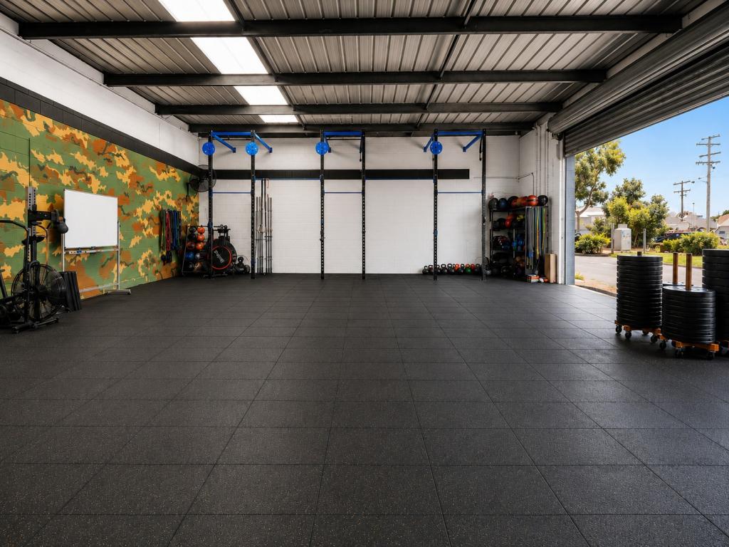 0
0About Mudgeeraba 4213
The size of Mudgeeraba is approximately 25.8 square kilometres. There are 25 parks, covering nearly 9.1% of the total area. The population of Mudgeeraba in 2016 was 13624 people. By 2021 the population was 14578 showing a population growth of 7.0% in the area during that time. The predominant age group in Mudgeeraba is 40-49 years. Households in Mudgeeraba are primarily couples with children and are likely to be repaying $1800 - $2399 per month on mortgage repayments. In general, people in Mudgeeraba work in a professional occupation.In 2021, 74.60% of the homes in Mudgeeraba were owner-occupied compared with 70.80% in 2016.
Mudgeeraba has 5,611 properties. Over the last 5 years, Houses in Mudgeeraba have seen a 72.67% increase in median value, while Units have seen a 93.29% increase. As at 30 June 2026:
- The median value for Houses in Mudgeeraba is $1,444,314 while the median value for Units is $971,161.
- Houses have a median rent of $995 while Units have a median rent of $845.
Suburb Insights for Mudgeeraba 4213
Market Insights
Mudgeeraba Trends for Houses
N/A
N/A
View TrendN/A
N/A
Mudgeeraba Trends for Units
N/A
N/A
View TrendN/A
N/A
Neighbourhood Insights
© Copyright 2026. RP Data Pty Ltd trading as Cotality (Cotality). All rights reserved. No reproduction, distribution, or transmission of the copyrighted materials is permitted. The information is deemed reliable but not guaranteed.
While Cotality uses commercially reasonable efforts to ensure the Cotality Data is current, Cotality does not warrant the accuracy, currency or completeness of the Cotality Data and to the full extent permitted by law excludes all loss or damage howsoever arising (including through negligence) in connection with the Cotality Data.
This product uses cookies and other similar technologies to improve and customise your browsing experience, to tailor content and adverts, and for analytics and metrics regarding visitor usage on this product and other media. We may share cookie and analytics information with third parties for the purposes of advertising. By continuing to use our website, you consent to cookies being used. View our Privacy Policy here.
X