
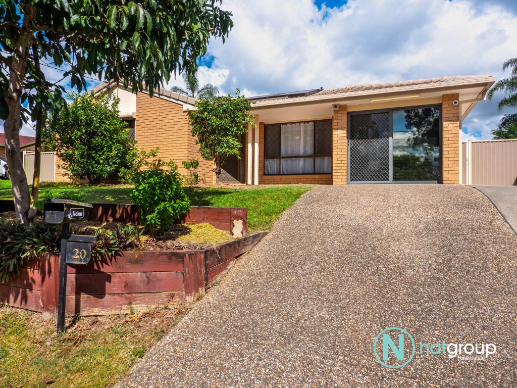
12 Bushmills CourtHillcrest QLD 4118
Property Details for 12 Bushmills Ct, Hillcrest
Last Listing description (May 2024)
I would like to take this opportunity to invite all astute investors, business operators and the like to look into the myriad of options this 824m2 block in Hillcrest offers. Whether you want to make use of the larger block and build a residential family home or utilize the extra zoning of "Specialised Centre Zone, Low impact office Precinct, it is entirely up to you. The Council has indicated they are onboard with all options.
This zoning comprises the following optiions.
- Bar, Caretakers Accommodation, Childcare Centre, Club, Community Care Centre, Community use, Educational establishment, Emergency services, small-scale food and drink outlet, Function facility, Health Care service, Home based business Hotel Sales office and many many more.
824m2
Zoning ? Browns Plains (4600) - Light Commercial and more
Walk to Greenbank RSL
5 Minutes to Logan Motorway
5 minutes to Grand Plaza Shopping precinct
40 minutes to Gold Coast, Brisbane CBD and Brisbane Airport
With so many extra options on offer there is too much to cover in one advertisement. Call me today to arrange a chance to catch up and look into your needs and requirements to see if we can make it work for you. These type of opportunities don't come along often so make sure you act quickly to add to your business growth. Call today.
Property History for 12 Bushmills Ct, Hillcrest, QLD 4118
- 02 Feb 2024Listed for Sale Offers Over $749,000
- 11 Aug 2011Listed for Rent - Price not available
- 31 Mar 2008Listed for Rent - Price not available
Recent sales nearby
See more recent sales nearbySimilar properties For Sale nearby
See more properties for sale nearby
 0
0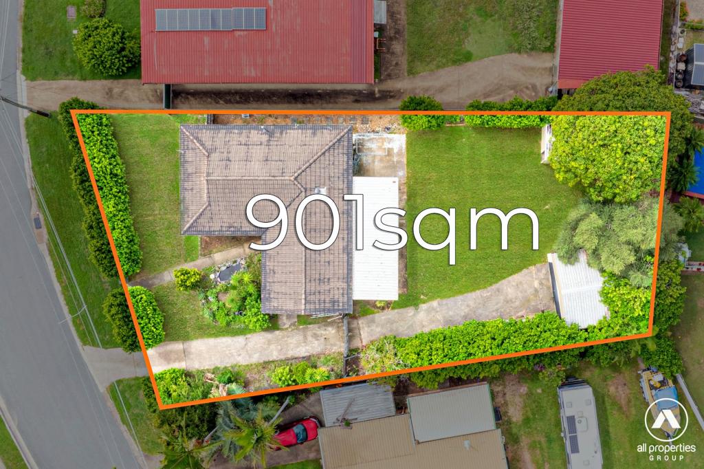 0
0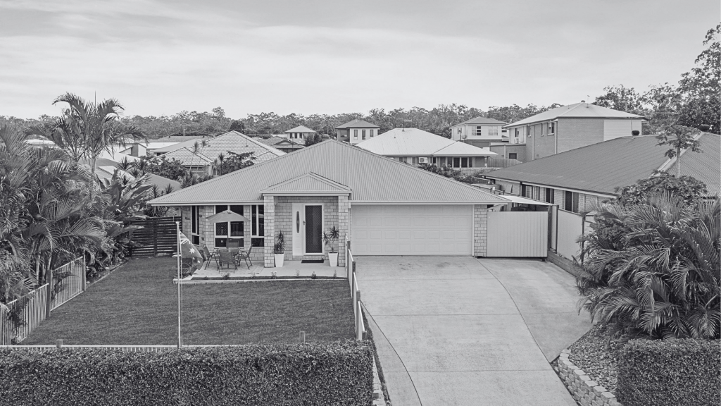 0
0Similar properties For Rent nearby
See more properties for rent nearby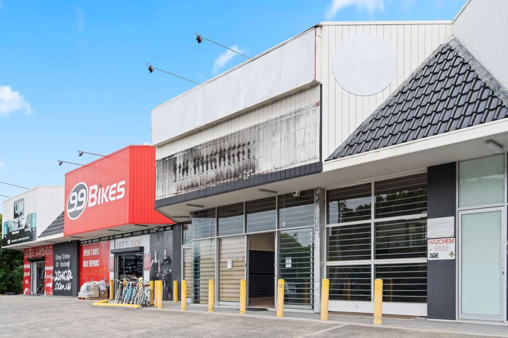 0
0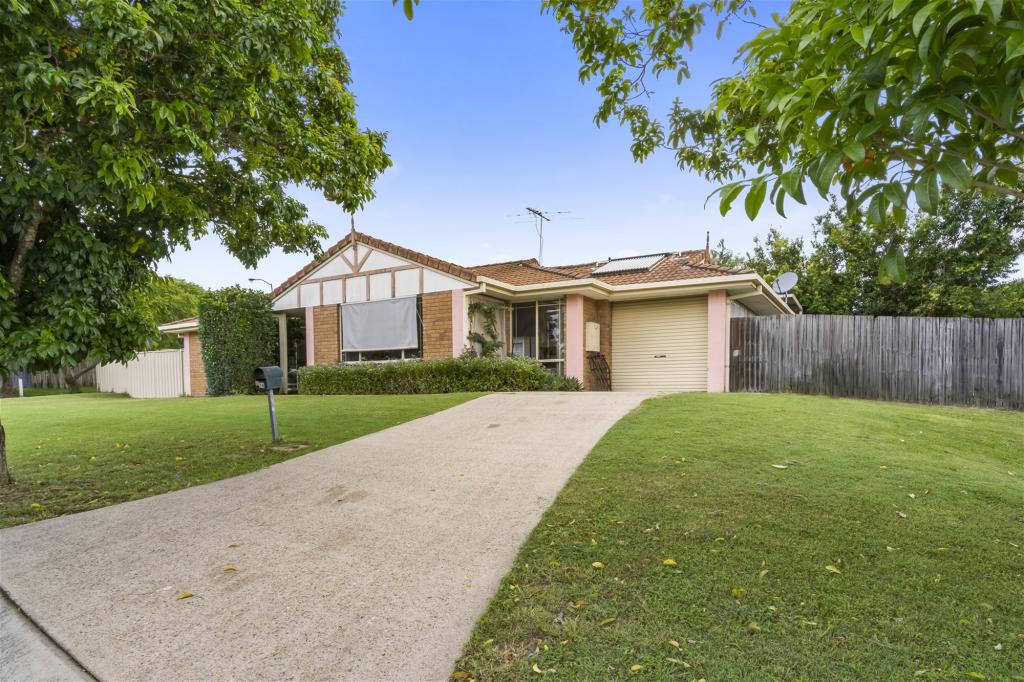 0
0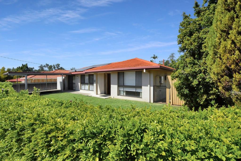 0
0About Hillcrest 4118
The size of Hillcrest is approximately 3.2 square kilometres. It has 14 parks covering nearly 12.6% of total area. The population of Hillcrest in 2016 was 5626 people. By 2021 the population was 6268 showing a population growth of 11.4% in the area during that time. The predominant age group in Hillcrest is 30-39 years. Households in Hillcrest are primarily couples with children and are likely to be repaying $1400 - $1799 per month on mortgage repayments. In general, people in Hillcrest work in a machinery operators and drivers occupation.In 2021, 58.80% of the homes in Hillcrest were owner-occupied compared with 57.70% in 2016.
Hillcrest has 3,207 properties. Over the last 5 years, Houses in Hillcrest have seen a 130.66% increase in median value, while Units have seen a 218.77% increase. As at 30 April 2026:
- The median value for Houses in Hillcrest is $1,001,455 while the median value for Units is $700,043.
- Houses have a median rent of $620 while Units have a median rent of $520.
Suburb Insights for Hillcrest 4118
Market Insights
Hillcrest Trends for Houses
N/A
N/A
View TrendN/A
N/A
Hillcrest Trends for Units
N/A
N/A
View TrendN/A
N/A
Neighbourhood Insights
© Copyright 2026. RP Data Pty Ltd trading as Cotality (Cotality). All rights reserved. No reproduction, distribution, or transmission of the copyrighted materials is permitted. The information is deemed reliable but not guaranteed.
While Cotality uses commercially reasonable efforts to ensure the Cotality Data is current, Cotality does not warrant the accuracy, currency or completeness of the Cotality Data and to the full extent permitted by law excludes all loss or damage howsoever arising (including through negligence) in connection with the Cotality Data.
This product uses cookies and other similar technologies to improve and customise your browsing experience, to tailor content and adverts, and for analytics and metrics regarding visitor usage on this product and other media. We may share cookie and analytics information with third parties for the purposes of advertising. By continuing to use our website, you consent to cookies being used. View our Privacy Policy here.
X