
14/699 Sandgate RoadClayfield QLD 4011
Property Details for 14/699 Sandgate Rd, Clayfield
Last Listing description (October 2023)
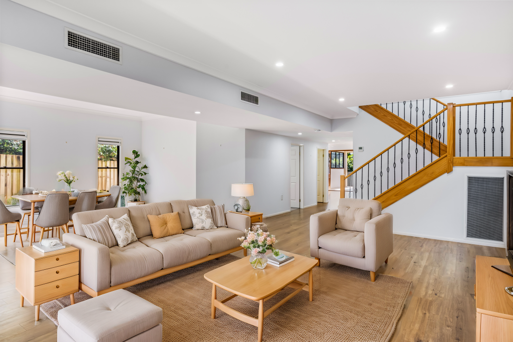
These two adjacent professional offices have been creatively joined to form one tenancy sited at the rear of the top level of this popular two-level complex.
Occupy both - lease one - lease both - It's your choice.
The offices enjoy great natural light to the morning sun in a quiet position away from any traffic noise.
Although the tenancies are open, it would take very little modification to return the suites to separate units. This would give the owners flexibility to use the spaces to maximum benefit.
Each unit enjoys two allocated car spaces on site and there are numerous customer spaces as well.
Flexible settlement terms.
For more information or to arrange an inspection, please contact the Exclusive marketing agents, Commercial Brisbane.
Disclaimer:
All information provided has been obtained from sources we believe to be accurate.
However, we accept no liability for any errors or omissions, and we cannot guarantee the information is accurate, including, but not limited to, a property's land size, floor plans and size, building age and condition) Interested parties should make their own enquiries and obtain their own legal advice.
Property History for 14/699 Sandgate Rd, Clayfield, QLD 4011
- 05 Mar 2025Sold for $881,100
- 20 Oct 2023Sold for $350,000
- 28 Apr 2023Listed for Sale $750,000 excl. GST combined
Recent sales nearby
See more recent sales nearbySimilar properties For Sale nearby
See more properties for sale nearby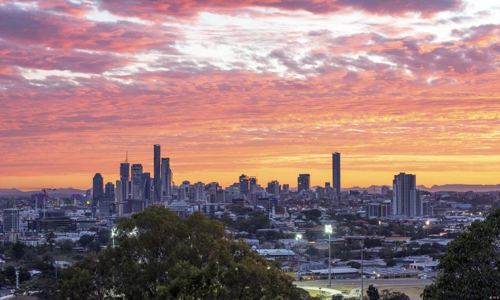 0
0
 0
0 0
0Similar properties For Rent nearby
See more properties for rent nearby 0
0 0
0
 0
0About Clayfield 4011
The size of Clayfield is approximately 2.8 square kilometres. It has 4 parks covering nearly 1.6% of total area. The population of Clayfield in 2016 was 10555 people. By 2021 the population was 10897 showing a population growth of 3.2% in the area during that time. The predominant age group in Clayfield is 30-39 years. Households in Clayfield are primarily childless couples and are likely to be repaying over $4000 per month on mortgage repayments. In general, people in Clayfield work in a professional occupation.In 2021, 55.00% of the homes in Clayfield were owner-occupied compared with 52.40% in 2016.
Clayfield has 6,328 properties. Over the last 5 years, Houses in Clayfield have seen a 55.94% increase in median value, while Units have seen a 124.91% increase. As at 30 April 2026:
- The median value for Houses in Clayfield is $2,140,512 while the median value for Units is $883,609.
- Houses have a median rent of $850 while Units have a median rent of $600.
Suburb Insights for Clayfield 4011
Market Insights
Clayfield Trends for Houses
N/A
N/A
View TrendN/A
N/A
Clayfield Trends for Units
N/A
N/A
View TrendN/A
N/A
Neighbourhood Insights
© Copyright 2026. RP Data Pty Ltd trading as Cotality (Cotality). All rights reserved. No reproduction, distribution, or transmission of the copyrighted materials is permitted. The information is deemed reliable but not guaranteed.
While Cotality uses commercially reasonable efforts to ensure the Cotality Data is current, Cotality does not warrant the accuracy, currency or completeness of the Cotality Data and to the full extent permitted by law excludes all loss or damage howsoever arising (including through negligence) in connection with the Cotality Data.
This product uses cookies and other similar technologies to improve and customise your browsing experience, to tailor content and adverts, and for analytics and metrics regarding visitor usage on this product and other media. We may share cookie and analytics information with third parties for the purposes of advertising. By continuing to use our website, you consent to cookies being used. View our Privacy Policy here.
X