
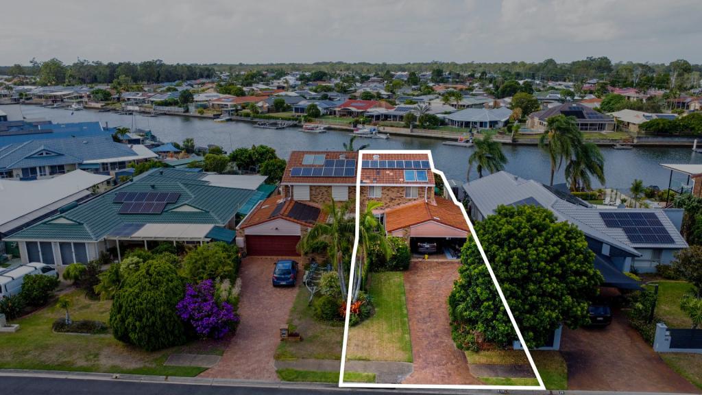
11 Emu WalkBongaree QLD 4507
Property Details for 11 Emu Walk, Bongaree
11 Emu Walk, Bongaree is a 3 bedroom, 1 bathroom House with 2 parking spaces. The property has a land size of 536m2 and floor size of 97m2. While the property is not currently for sale or for rent, it was last sold in January 2004.
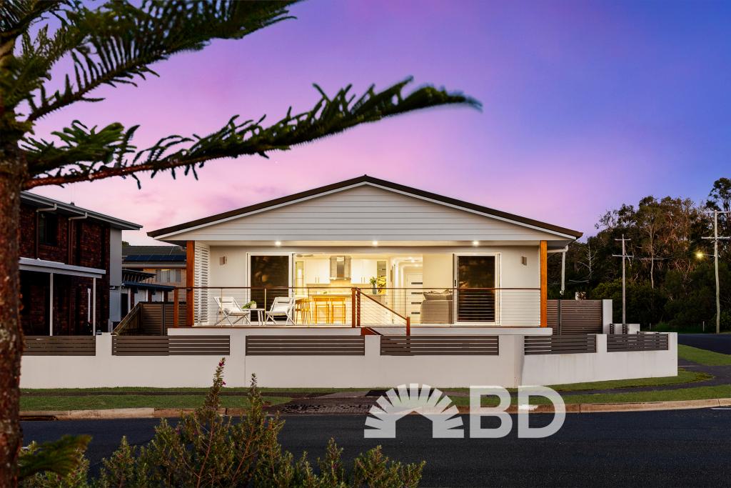
Last Listing description (November 2020)
* Low set home, with one small step up into house.
* Three bedrooms with robes. Master bedroom very spacious!
* One bathroom, separate toilet room
* Large undercover pergola with large separate laundry
* Double lock up detached garage
* Great Bongaree location walking distance to shopping, waterfront and schools
PET POLICY: Unless the advertisement specifically says "No Pets", then pet approval is considered as part of the tenancy application. This means that the Lessor has not specifically said no pets, but is open to consideration depending on your application as a whole.
OPEN HOMES: We advertise all inspection times as soon as they are booked. The property may still be occupied and in most cases this is the earliest we can show people through.
IF YOU ARE UNABLE TO ATTEND the Open Home, then please check back with us the following day. If the property is still available we will endeavour to book an alternate inspection time with you.
Property History for 11 Emu Walk, Bongaree, QLD 4507
- 29 Oct 2020Listed for Rent $350 / week
- 23 Jan 2004Sold for $292,000
- 04 Jan 2003Sold for $200,000

Recent sales nearby
See more recent sales nearby
Similar properties For Sale nearby
See more properties for sale nearby
 0
0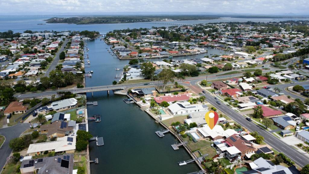 0
0
 0
0Similar properties For Rent nearby
See more properties for rent nearby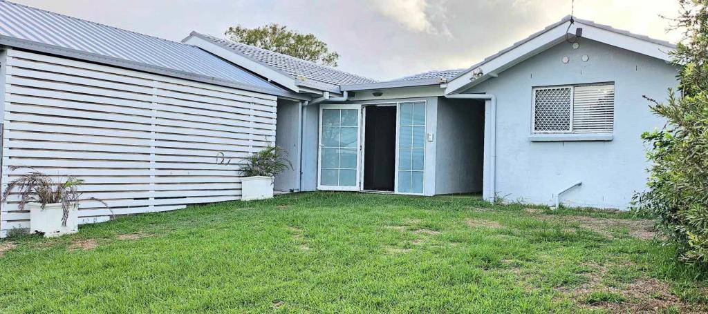 0
0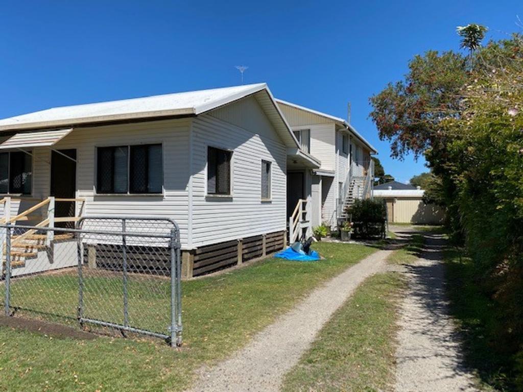 0
0About Bongaree 4507
The size of Bongaree is approximately 6.9 square kilometres. It has 17 parks covering nearly 34.8% of total area. The population of Bongaree in 2016 was 6947 people. By 2021 the population was 8162 showing a population growth of 17.5% in the area during that time. The predominant age group in Bongaree is 70-79 years. Households in Bongaree are primarily childless couples and are likely to be repaying $1400 - $1799 per month on mortgage repayments. In general, people in Bongaree work in a community and personal service occupation.In 2021, 69.40% of the homes in Bongaree were owner-occupied compared with 64.00% in 2016.
Bongaree has 4,839 properties. Over the last 5 years, Houses in Bongaree have seen a 93.60% increase in median value, while Units have seen a 96.70% increase. As at 28 February 2026:
- The median value for Houses in Bongaree is $1,036,869 while the median value for Units is $721,835.
- Houses have a median rent of $650 while Units have a median rent of $510.
Suburb Insights for Bongaree 4507
Market Insights
Bongaree Trends for Houses
N/A
N/A
View TrendN/A
N/A
Bongaree Trends for Units
N/A
N/A
View TrendN/A
N/A
Neighbourhood Insights
© Copyright 2026. RP Data Pty Ltd trading as Cotality (Cotality). All rights reserved. No reproduction, distribution, or transmission of the copyrighted materials is permitted. The information is deemed reliable but not guaranteed.
While Cotality uses commercially reasonable efforts to ensure the Cotality Data is current, Cotality does not warrant the accuracy, currency or completeness of the Cotality Data and to the full extent permitted by law excludes all loss or damage howsoever arising (including through negligence) in connection with the Cotality Data.
This product uses cookies and other similar technologies to improve and customise your browsing experience, to tailor content and adverts, and for analytics and metrics regarding visitor usage on this product and other media. We may share cookie and analytics information with third parties for the purposes of advertising. By continuing to use our website, you consent to cookies being used. View our Privacy Policy here.
X