
8 London RoadBelmont QLD 4153
Property Details for 8 London Rd, Belmont
8 London Rd, Belmont is a 1 bedroom, 0 bathroom House. The property has a land size of 19130m2. While the property is not currently for sale or for rent, it was last sold in September 2008.
Last Listing description (December 2023)
Massive, clear corner block with a petrol station opposite on the south, residential development across Belmont Road on the north and the Gateway Motorway on the west.
This block has so much potential with Brisbane running out of large development sites.
Great exposure and just off the Gateway Motorway providing excellent access to major regional shopping centre Westfield Carindale and many others
Landbank now with potential for mixed fast food and residential development or pure residential once BCC rezones Belmont. One of the last potential development site pockets only 13.5 km from Brisbane CBD with the population growing fast leading up to the Brisbane Olympics.
Also comes with a highset home for holding income or rebuilding your dream home while sitting on a gold mine for the price of a penthouse.
Motivated owners want it sold. Enquire now before you miss out on this rare opportunity.
Address: 8 London Road, Belmont QLD 4153
Price: Offers Over $4,000,000
Inspect: By Appointment
Contact:
Terry Chen / Harvey Huang
0479 075 962 / 0401 026 693
Terry.Chen@yong.com.au
All information contained herein is gathered from sources we consider to be reliable. However, we cannot guarantee or give any warranty about the information provided, interested parties must solely rely on their own enquiries.
Property History for 8 London Rd, Belmont, QLD 4153
- 28 Apr 2016Listed for Sale OFFERS OVER $2,500,000
- 19 Apr 2015Listed for Sale $1,950,000
- 18 May 2012Listed for Sale BY NEGOTIATION

Recent sales nearby
See more recent sales nearbySimilar properties For Sale nearby
See more properties for sale nearby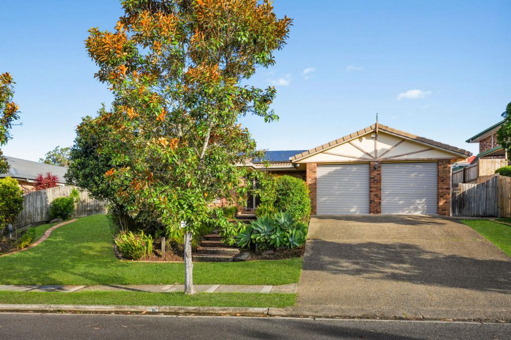 0
0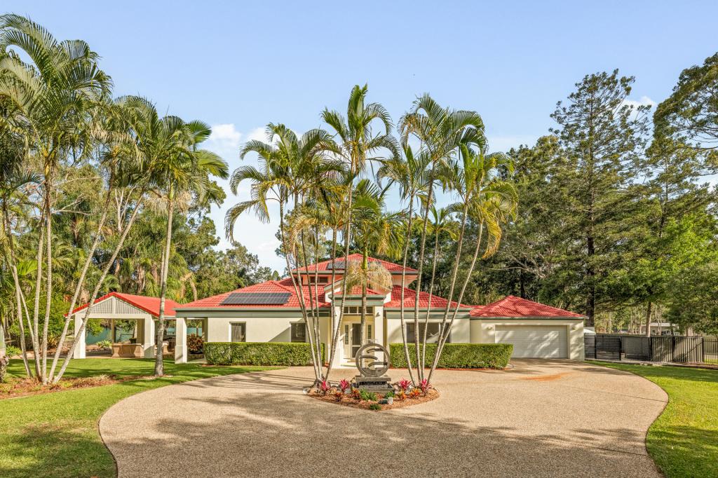 0
0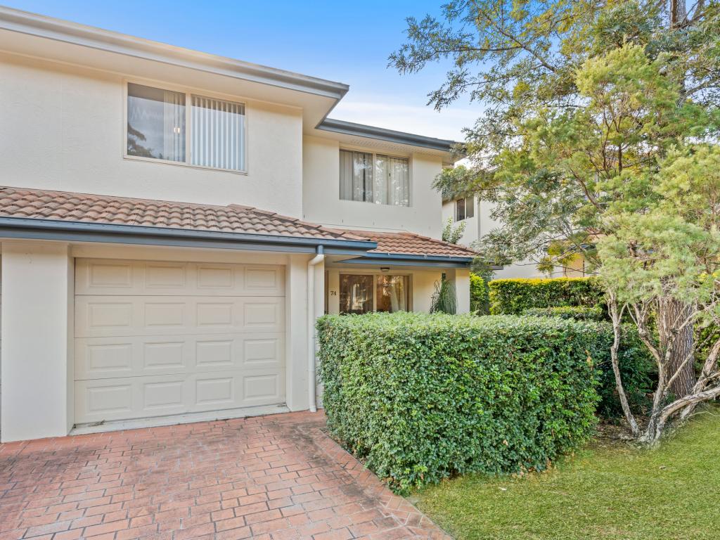 0
0
Similar properties For Rent nearby
See more properties for rent nearby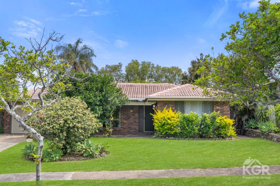 0
0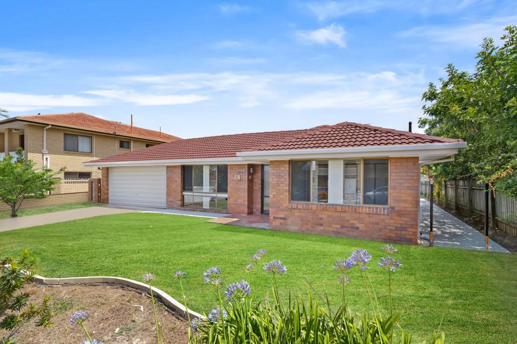 0
0 0
0About Belmont 4153
The size of Belmont is approximately 10.0 square kilometres. There are 14 parks, covering nearly 1.7% of the total area. The population of Belmont in 2016 was 4374 people. By 2021 the population was 4498 showing a population growth of 2.8% in the area during that time. The predominant age group in Belmont is 50-59 years. Households in Belmont are primarily couples with children and are likely to be repaying $1800 - $2399 per month on mortgage repayments. In general, people in Belmont work in a professional occupation.In 2021, 82.20% of the homes in Belmont were owner-occupied compared with 77.90% in 2016.
Belmont has 1,679 properties. Over the last 5 years, Houses in Belmont have seen a 86.97% increase in median value, while Units have seen a 86.56% increase. As at 30 April 2026:
- The median value for Houses in Belmont is $1,563,352 while the median value for Units is $892,793.
- Houses have a median rent of $875 while Units have a median rent of $600.
Suburb Insights for Belmont 4153
Market Insights
Belmont Trends for Houses
N/A
N/A
View TrendN/A
N/A
Belmont Trends for Units
N/A
N/A
View TrendN/A
N/A
Neighbourhood Insights
© Copyright 2026. RP Data Pty Ltd trading as Cotality (Cotality). All rights reserved. No reproduction, distribution, or transmission of the copyrighted materials is permitted. The information is deemed reliable but not guaranteed.
While Cotality uses commercially reasonable efforts to ensure the Cotality Data is current, Cotality does not warrant the accuracy, currency or completeness of the Cotality Data and to the full extent permitted by law excludes all loss or damage howsoever arising (including through negligence) in connection with the Cotality Data.
This product uses cookies and other similar technologies to improve and customise your browsing experience, to tailor content and adverts, and for analytics and metrics regarding visitor usage on this product and other media. We may share cookie and analytics information with third parties for the purposes of advertising. By continuing to use our website, you consent to cookies being used. View our Privacy Policy here.
X