
C101/12 Salonika StreetParap NT 0820
Property Details for C101/12 Salonika St, Parap
Property History for C101/12 Salonika St, Parap, NT 0820
Recent sales nearby
See more recent sales nearbySimilar properties For Sale nearby
See more properties for sale nearby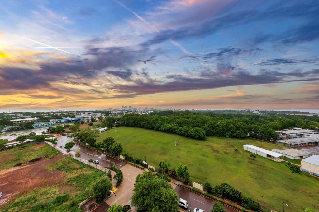 0
0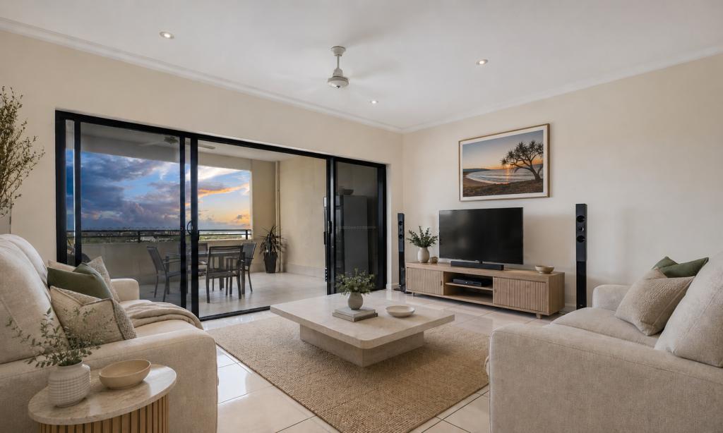 0
0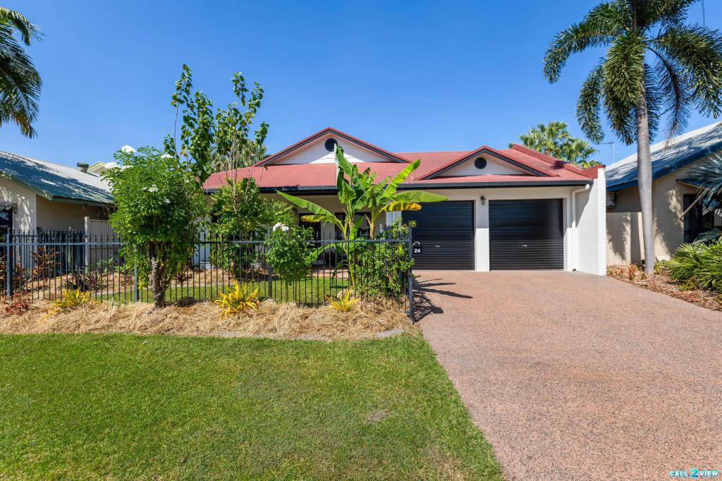 0
0Similar properties For Rent nearby
See more properties for rent nearby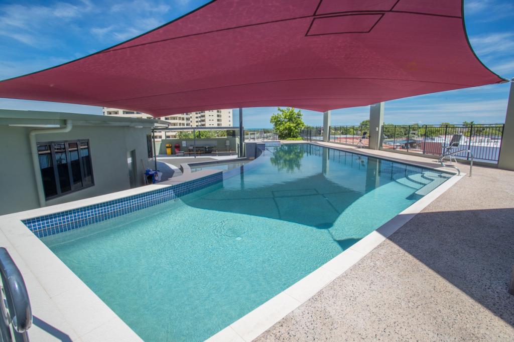 0
0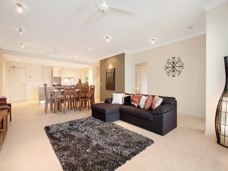 0
0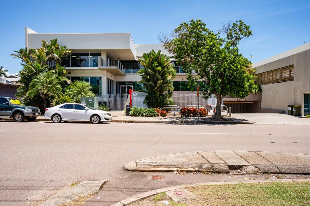 0
0About Parap 0820
The size of Parap is approximately 1.1 square kilometres. There are 11 parks, covering nearly 11.7% of the total area. The population of Parap in 2016 was 2747 people. By 2021 the population was 2819 showing a population growth of 2.6% in the area during that time. The predominant age group in Parap is 30-39 years. Households in Parap are primarily couples with children and are likely to be repaying $2400 - $2999 per month on mortgage repayments. In general, people in Parap work in a professional occupation.In 2021, 36.10% of the homes in Parap were owner-occupied compared with 34.10% in 2016.
Parap has 1,831 properties. Over the last 5 years, Houses in Parap have seen a 36.47% increase in median value, while Units have seen a 57.78% increase. As at 30 June 2026:
- The median value for Houses in Parap is $992,487 while the median value for Units is $452,513.
- Houses have a median rent of $875 while Units have a median rent of $625.
Suburb Insights for Parap 0820
Market Insights
Parap Trends for Houses
N/A
N/A
View TrendN/A
N/A
Parap Trends for Units
N/A
N/A
View TrendN/A
N/A
Neighbourhood Insights
© Copyright 2026. RP Data Pty Ltd trading as Cotality (Cotality). All rights reserved. No reproduction, distribution, or transmission of the copyrighted materials is permitted. The information is deemed reliable but not guaranteed.
While Cotality uses commercially reasonable efforts to ensure the Cotality Data is current, Cotality does not warrant the accuracy, currency or completeness of the Cotality Data and to the full extent permitted by law excludes all loss or damage howsoever arising (including through negligence) in connection with the Cotality Data.