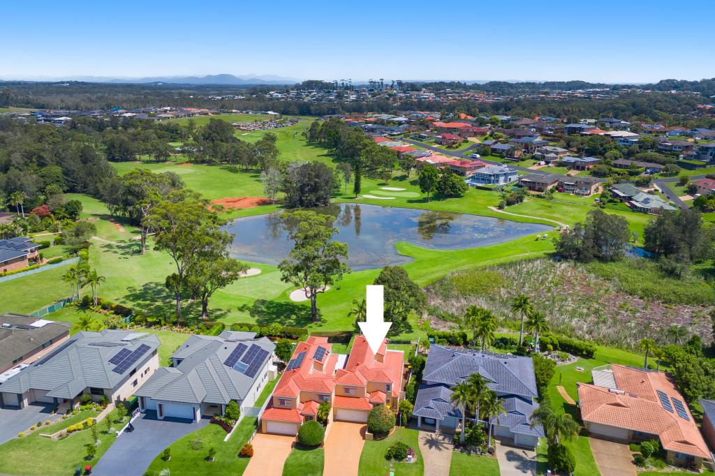
60/140-180 Matthew Flinders DrivePort Macquarie NSW 2444

Thinking about insurance?
Get estimated rebuild costs for this property with Sum SureProperty Details for 60/140-180 Matthew Flinders Dr, Port Macquarie
60/140-180 Matthew Flinders Dr, Port Macquarie is a 2 bedroom, 1 bathroom House with 2 parking spaces. The property has a land size of 24904m2.
Last Listing description (March 2019)
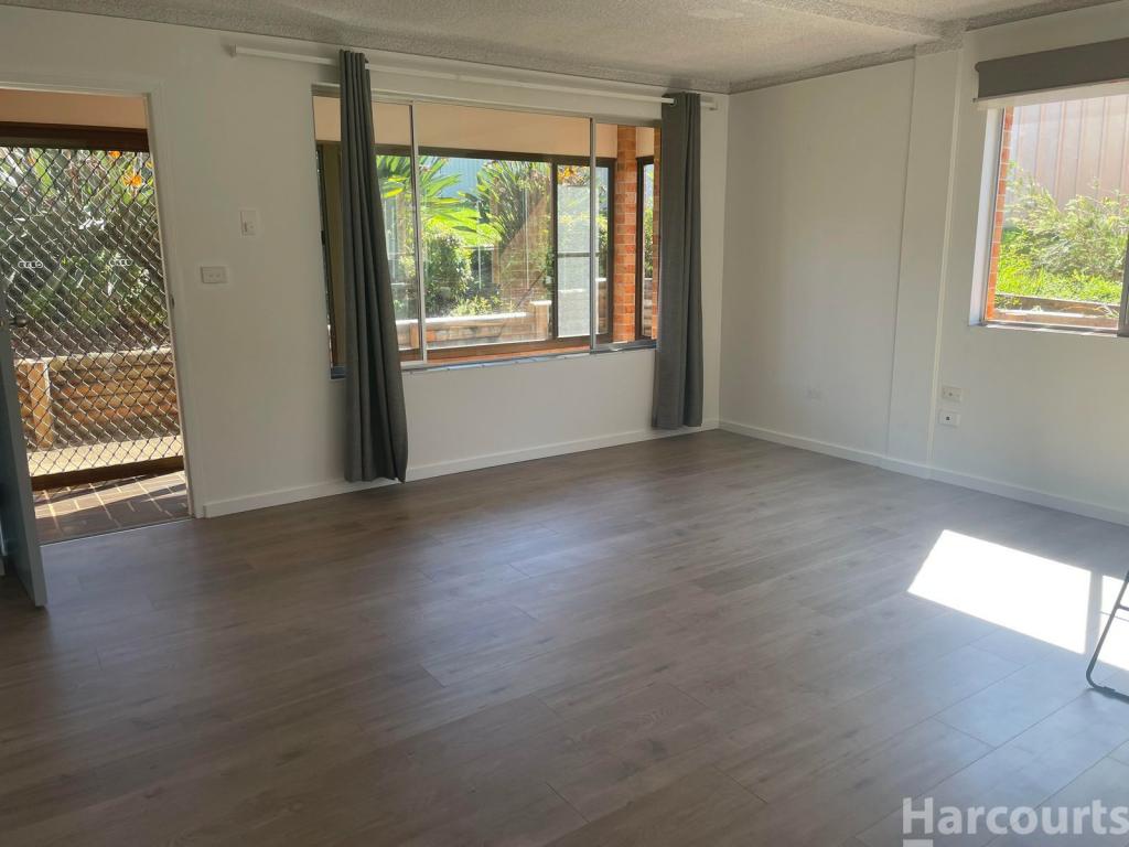
This lifestyle home is perfect for nature lovers, there s a subtropical rainforest in the backyard which is visited by Kookaburras, Marsupials even a friendly monitor lizard. While the front deck is perfect for enjoying the morning sun the back decks are so private and overlook a tropical paradise. Gardeners will appreciate the beautiful plants and the timber walkways leading around the garden.
Renovated throughout with open plan living and raked ceilings. There are two bedrooms the master has an ensuite. There is also a third room which could be used as a study or guest bedroom.
There s a good sized carport and room for cars to be parked at the front for when the guests arrive.
Property History for 60/140-180 Matthew Flinders Dr, Port Macquarie, NSW 2444
- 31 Jan 2019Listed for Sale $289,000
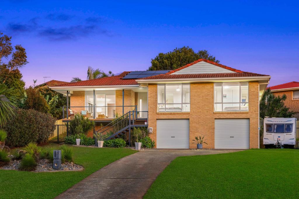
Recent sales nearby
See more recent sales nearby
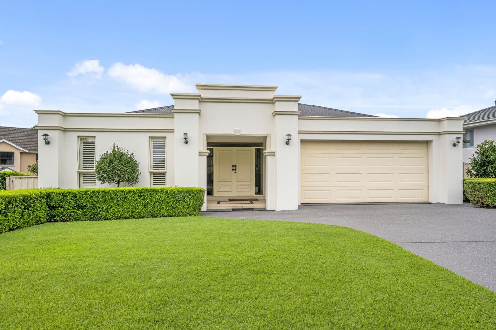
Similar properties For Sale nearby
See more properties for sale nearby
Similar properties For Rent nearby
See more properties for rent nearby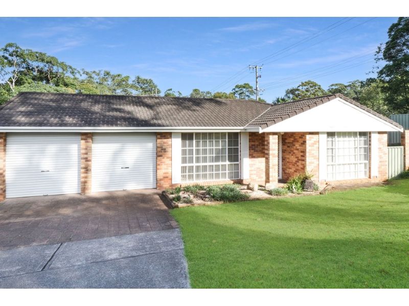
About Port Macquarie 2444
The size of Port Macquarie is approximately 54.2 square kilometres. It has 61 parks covering nearly 17.2% of total area. The population of Port Macquarie in 2011 was 41,491 people. By 2016 the population was 44,857 showing a population growth of 8.1% in the area during that time. The predominant age group in Port Macquarie is 60-69 years. Households in Port Macquarie are primarily childless couples and are likely to be repaying $1800 - $2399 per month on mortgage repayments. In general, people in Port Macquarie work in a professional occupation. In 2011, 64.9% of the homes in Port Macquarie were owner-occupied compared with 64% in 2016.
Port Macquarie has 28,949 properties. Over the last 5 years, Houses in Port Macquarie have seen a 54.03% increase in median value, while Units have seen a 49.46% increase. As at 30 April 2025:
- The median value for Houses in Port Macquarie is $903,412 while the median value for Units is $608,577.
- Houses have a median rent of $630 while Units have a median rent of $500.
What's around 60/140-180 Matthew Flinders Dr, Port Macquarie
60/140-180 Matthew Flinders Dr, Port Macquarie is in the school catchment zone for Tacking Point Public School.


Suburb Insights for Port Macquarie 2444
Market Insights
Port Macquarie Trends for Houses
$903k
2.36%
View Trend$630/W
3.96%
Port Macquarie Trends for Units
$609k
5.05%
View Trend$500/W
4.21%
Neighbourhood Insights
Age
Population 44,857
0-9
11%
10-19
11%
20-29
9%
30-39
10%
40-49
12%
50-59
13%
60-69
14%
70-79
12%
80-89
7%
90-99
2%
Household Structure
Occupancy
© Copyright 2025 RP Data Pty Ltd trading as CoreLogic Asia Pacific (CoreLogic). All rights reserved.
This product uses cookies and other similar technologies to improve and customise your browsing experience, to tailor content and adverts, and for analytics and metrics regarding visitor usage on this product and other media. We may share cookie and analytics information with third parties for the purposes of advertising. By continuing to use our website, you consent to cookies being used. View our Privacy Policy here.
X