519 Maitland RoadMayfield West NSW 2304

Property Details for 519 Maitland Rd, Mayfield West
519 Maitland Rd, Mayfield West is a 4 bedroom, 2 bathroom House with 2 parking spaces. The property has a land size of 588.1m2. While the property is not currently for sale or for rent, it was last sold in July 2026. There are other 4 bedroom House sold in Mayfield West in the last 12 months.
Last Listing description (July 2026)
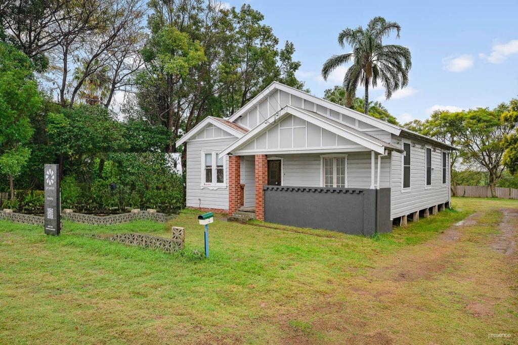
Positioned on a generous 588.1sqm block with a prized northeast-facing backyard, this home's adaptable layout offers three-bedroom accommodation upstairs alongside a self-contained lower-level studio complete with its own kitchenette, bathroom and private living space. It's the ideal setup for adult children saving for their first home, extended family, guests, a home business, or a valuable source of supplementary rental income.
519 Maitland Road is perfect for the first home buyer, tradie, or even the seasoned renovator that wants to bring this home into it's full potential with cosmetic renovations! Large windows fill the living spaces with natural light, while the elevated verandah provides a lovely place to enjoy a morning coffee or soak up the winter sunshine overlooking the backyard. The home's generous proportions are complemented by a covered entertaining area, oversized carport, excellent storage, a garden shed and plenty of lawn for children and pets to enjoy. There is exciting scope to further enhance value through additional cosmetic updates or future renovations.
Stevenson Park sits just around the corner with sporting fields and a great kids' playground. Mayfield West Public School is approximately one kilometre away, while Mayfield and Warabrook shopping centres, major arterial roads, the University of Newcastle, Mater Hospital and Newcastle's beaches are all within easy reach.
- Downstairs leased for $320 per week and upstairs potentially $550 per week, totaling a potential $870 per week return!
-588.1sqm block with north-east facing backyard
-Split system a/c to main lounge room and studio
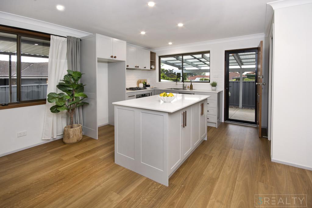
-Gas equipped kitchen with updated benchtops, dishwasher
-Electric cooker in studio
-Solar Panels
-Built-in robes to all four bedrooms – 3 upstairs, 1 downstairs
-9m long carport plus abundant driveway parking
-University of Newcastle – 4.8km, Honeysuckle – 8.8km, Bar Beach – 10.6km
* This information, including but not limited to photographs (which may show boundaries), copywriting, floorplans, and site plans, has been prepared solely for the purpose of marketing this property. While all care has been taken to ensure accuracy, we do not accept any responsibility for errors, omissions, or inaccuracies. We strongly recommend that all interested parties make their own enquiries and seek independent advice, including speaking with their conveyancer regarding boundaries and, where appropriate, obtaining a surveyor's report, to verify the information provided.
Property History for 519 Maitland Rd, Mayfield West, NSW 2304
- 01 Jul 2026Sold for $840,000
- 10 Jun 2026Listed for Sale $840,000
- 19 Jun 2019Sold for $500,000

Recent sales nearby
See more recent sales nearby/assets/perm/oso6rxpazmi6vllv6vxqv2eroa?signature=67f430b5bf4330584ccae16d90fa0c049b5ca7ddf1b3d31d635f6baeb966a9fe) 0
0/assets/perm/rk55k32styi65cbwl6ow7eupgq?signature=ed6caf9e2d6742323ce8520913aba04e77ed6ae0ecac82a8a25c5aa527e6f192) 0
0/assets/perm/eu4tf5ntzai63kr72fao4d3ocm?signature=06e9a44ebfb20ef9359372577d1753c2f56fdf4791d90103ac895198703ac6c9) 0
0Similar properties For Sale nearby
See more properties for sale nearby 0
0

 0
0 0
0

Similar properties For Rent nearby
See more properties for rent nearby 0
0
 0
0
 0
0

About Mayfield West 2304
The size of Mayfield West is approximately 2.5 square kilometres. There are 8 parks, covering nearly 8.3% of the total area. The population of Mayfield West in 2016 was 1895 people. By 2021 the population was 1993 showing a population growth of 5.2% in the area during that time. The predominant age group in Mayfield West is 30-39 years. Households in Mayfield West are primarily childless couples and are likely to be repaying $1800 - $2399 per month on mortgage repayments. In general, people in Mayfield West work in a professional occupation.In 2021, 57.90% of the homes in Mayfield West were owner-occupied compared with 58.00% in 2016.
Mayfield West has 1,608 properties. Over the last 5 years, Houses in Mayfield West have seen a 36.40% increase in median value, while Units have seen a 45.94% increase. As at 31 August 2026:
- The median value for Houses in Mayfield West is $979,915 while the median value for Units is $703,394.
- Houses have a median rent of $710 while Units have a median rent of $525.
Suburb Insights for Mayfield West 2304
Market Insights
Mayfield West Trends for Houses
N/A
N/A
View TrendN/A
N/A
Mayfield West Trends for Units
N/A
N/A
View TrendN/A
N/A
Neighbourhood Insights
© Copyright 2026. RP Data Pty Ltd trading as Cotality (Cotality). All rights reserved. No reproduction, distribution, or transmission of the copyrighted materials is permitted. The information is deemed reliable but not guaranteed.
While Cotality uses commercially reasonable efforts to ensure the Cotality Data is current, Cotality does not warrant the accuracy, currency or completeness of the Cotality Data and to the full extent permitted by law excludes all loss or damage howsoever arising (including through negligence) in connection with the Cotality Data.
This product uses cookies and other similar technologies to improve and customise your browsing experience, to tailor content and adverts, and for analytics and metrics regarding visitor usage on this product and other media. We may share cookie and analytics information with third parties for the purposes of advertising. By continuing to use our website, you consent to cookies being used. View our Privacy Policy here.
X