
5 Fairview RoadLawson NSW 2783
Property Details for 5 Fairview Rd, Lawson
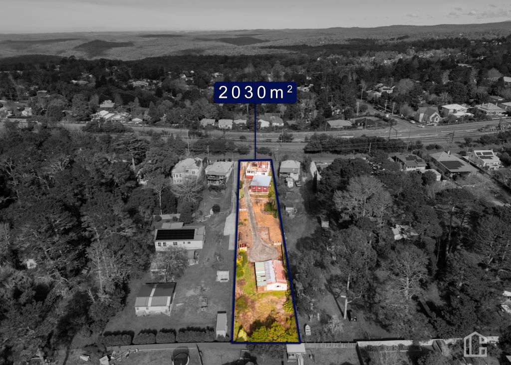
5 Fairview Rd, Lawson is a 3 bedroom, 1 bathroom House with 1 parking spaces. The property has a land size of 858m2 and floor size of 190m2. While the property is not currently for sale or for rent, it was last sold in April 2025.
Last Listing description (April 2025)
Brimming with original character, this classic mountain cottage offers a wealth of potential for those seeking a spacious and inviting home. Showcasing high ceilings, large bedrooms and study with fireplaces and a sunny front verandah, the property blends period charm with modern updates. The home features a country style kitchen and renovated bathroom, while two generous living areas ensure plenty of room to relax or entertain. Positioned on a level 857m block, complete with a garage, this cottage enjoys a quiet setting near the train station, shops, bowling club and North Lawson Park, making it an ideal choice for those looking to embrace a mountain lifestyle with room to grow.
Property History for 5 Fairview Rd, Lawson, NSW 2783
- 17 Apr 2025Sold for $915,000
- 04 Mar 2025Listed for Sale $970,000
- 07 Jul 2014Sold for $457,500

Recent sales nearby
See more recent sales nearbySimilar properties For Sale nearby
See more properties for sale nearby
 0
0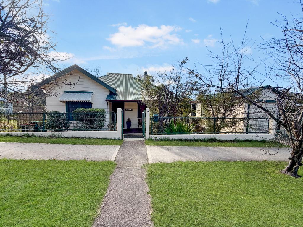 0
0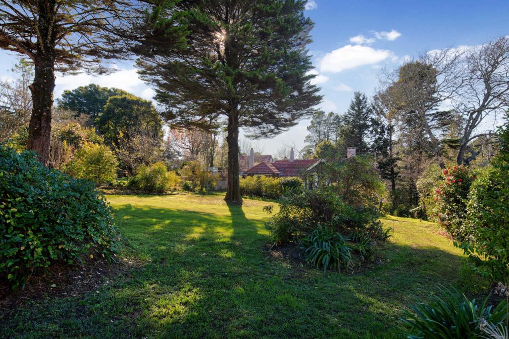 0
0Similar properties For Rent nearby
See more properties for rent nearby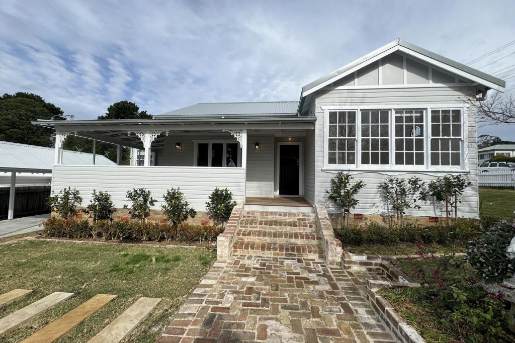 0
0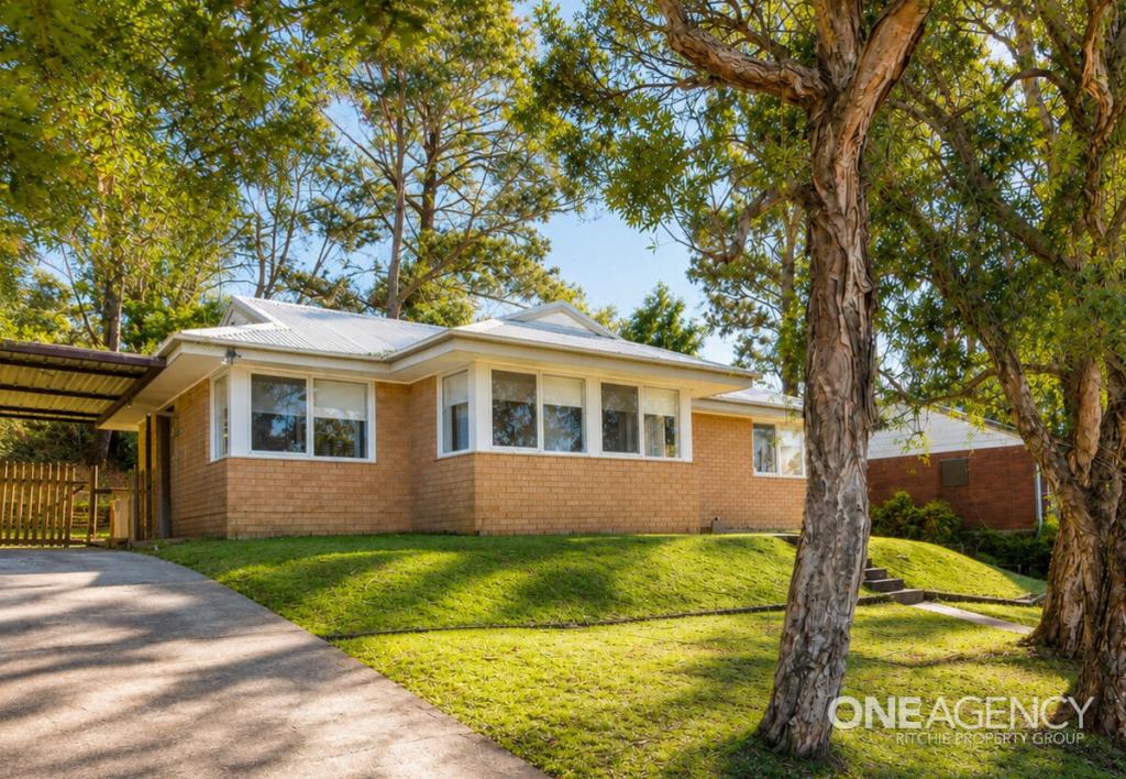 0
0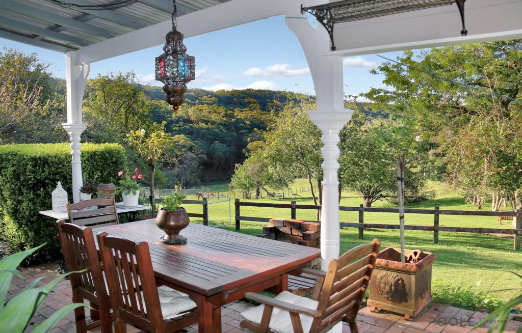 0
0About Lawson 2783
The size of Lawson is approximately 7.5 square kilometres. There are 14 parks, covering nearly 41.6% of the total area. The population of Lawson in 2016 was 2614 people. By 2021 the population was 2651 showing a population growth of 1.4% in the area during that time. The predominant age group in Lawson is 50-59 years. Households in Lawson are primarily couples with children and are likely to be repaying $1800 - $2399 per month on mortgage repayments. In general, people in Lawson work in a professional occupation.In 2021, 80.10% of the homes in Lawson were owner-occupied compared with 77.40% in 2016.
Lawson has 1,703 properties. Over the last 5 years, Houses in Lawson have seen a 28.75% increase in median value, while Units have seen a 27.24% increase. As at 30 June 2026:
- The median value for Houses in Lawson is $866,186 while the median value for Units is $735,667.
- Houses have a median rent of $600 while Units have a median rent of $398.
Suburb Insights for Lawson 2783
Market Insights
Lawson Trends for Houses
N/A
N/A
View TrendN/A
N/A
Lawson Trends for Units
N/A
N/A
View TrendN/A
N/A
Neighbourhood Insights
© Copyright 2026. RP Data Pty Ltd trading as Cotality (Cotality). All rights reserved. No reproduction, distribution, or transmission of the copyrighted materials is permitted. The information is deemed reliable but not guaranteed.
While Cotality uses commercially reasonable efforts to ensure the Cotality Data is current, Cotality does not warrant the accuracy, currency or completeness of the Cotality Data and to the full extent permitted by law excludes all loss or damage howsoever arising (including through negligence) in connection with the Cotality Data.
This product uses cookies and other similar technologies to improve and customise your browsing experience, to tailor content and adverts, and for analytics and metrics regarding visitor usage on this product and other media. We may share cookie and analytics information with third parties for the purposes of advertising. By continuing to use our website, you consent to cookies being used. View our Privacy Policy here.
X