
31/2 Barton RoadArtarmon NSW 2064
Property Details for 31/2 Barton Rd, Artarmon
31/2 Barton Rd, Artarmon is a 2 bedroom, 1 bathroom Unit with 1 parking spaces and was built in 1975. The property has a land size of 3500m2 and floor size of 92m2. While the property is not currently for sale or for rent, it was last sold in September 2008.
Last Listing description (September 2008)
UNDER OFFER !!
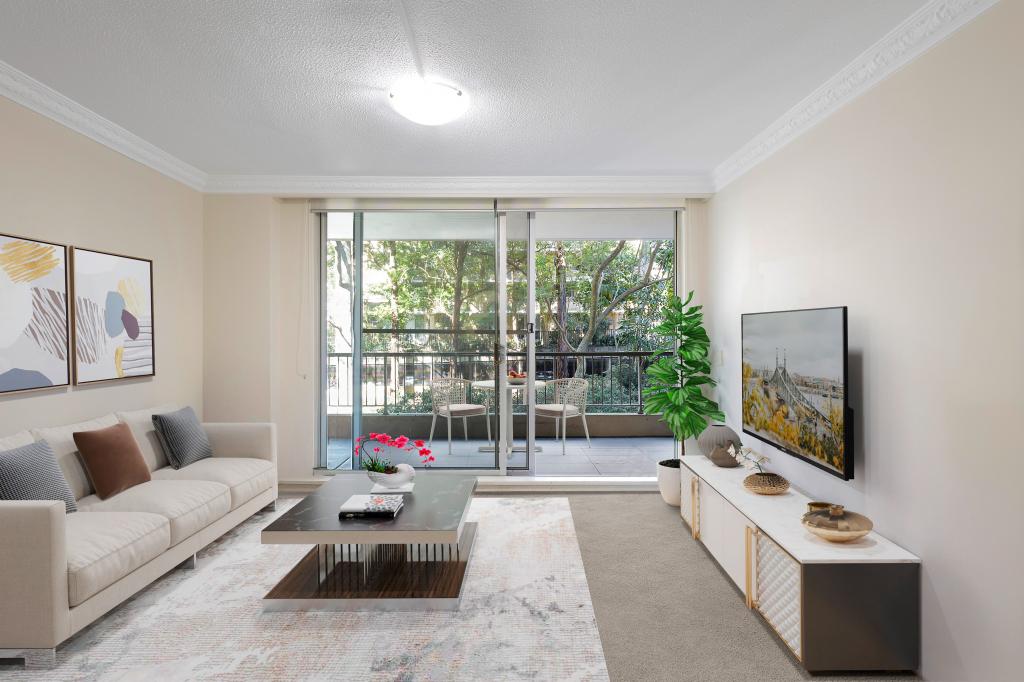
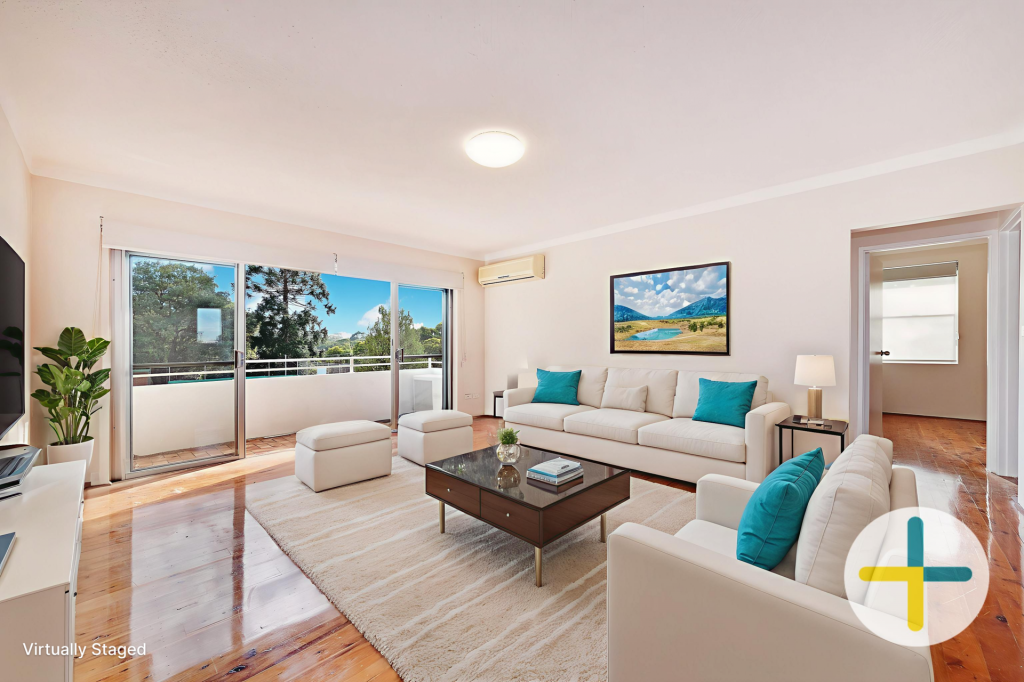
SPACIOUS 2 BEDROOM GROUND FLOOR UNIT, LARGE COMBINED L SHAPED LOUNGE/DINING AREA OPENING ONTO A LONG BALCONY. THE UNIT IS LOCATED AT THE REAR OF THE BLOCK, MODERN AND NEAT KITCHEN, LARGE FAMILY BATHROOM, ROOMY MASTER BEDROOM, BUILT-IN ROBES IN BOTH BEDROOMS, NEW CARPET THROUGHOUT, L.U.G, SEPARATE STORAGE ROOM, LOCATED ACROSS FROM ARTARMON PUBLIC SCHOOL, TENNIS COURTS, PLAY FIELD AND PARK. SHORT WALK TO STATION AND SHOPS.
ENJOY A BAR B QUE ON THE BALCONY, ANYONE FOR TENNIS?
Property History for 31/2 Barton Rd, Artarmon, NSW 2064
- 08 Sep 2008Sold for $395,000
- 02 May 2008Listed for Sale 419000
- 27 Jul 2007Listed for Rent - Price not available

Recent sales nearby
See more recent sales nearby
Similar properties For Sale nearby
See more properties for sale nearby 0
0
 0
0
 0
0
Similar properties For Rent nearby
See more properties for rent nearby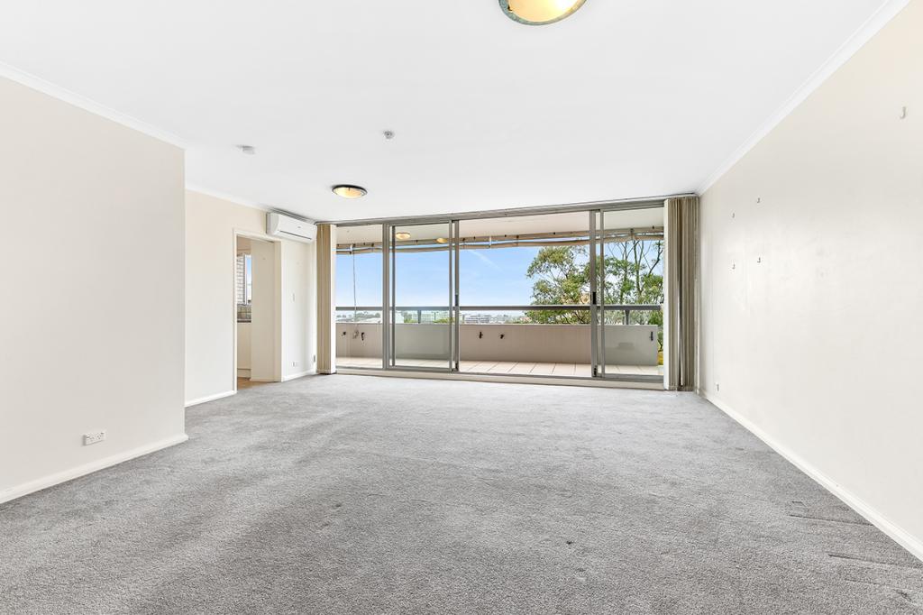 0
0
 0
0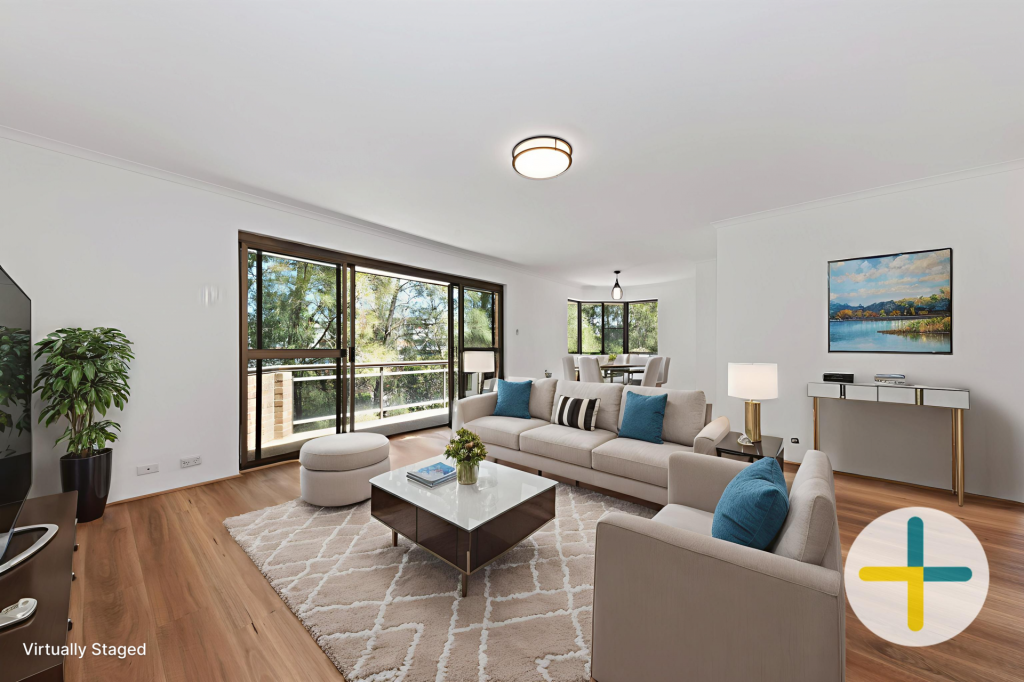 0
0About Artarmon 2064
The size of Artarmon is approximately 2.5 square kilometres. It has 11 parks covering nearly 7.7% of total area. The population of Artarmon in 2016 was 9523 people. By 2021 the population was 9417 showing a population decline of 1.1% in the area during that time. The predominant age group in Artarmon is 30-39 years. Households in Artarmon are primarily couples with children and are likely to be repaying over $4000 per month on mortgage repayments. In general, people in Artarmon work in a professional occupation.In 2021, 47.60% of the homes in Artarmon were owner-occupied compared with 47.90% in 2016.
Artarmon has 5,314 properties. Over the last 5 years, Houses in Artarmon have seen a 25.93% increase in median value, while Units have seen a 25.07% increase. As at 28 February 2026:
- The median value for Houses in Artarmon is $3,746,803 while the median value for Units is $1,144,141.
- Houses have a median rent of $850 while Units have a median rent of $770.
Suburb Insights for Artarmon 2064
Market Insights
Artarmon Trends for Houses
N/A
N/A
View TrendN/A
N/A
Artarmon Trends for Units
N/A
N/A
View TrendN/A
N/A
Neighbourhood Insights
© Copyright 2026. RP Data Pty Ltd trading as Cotality (Cotality). All rights reserved. No reproduction, distribution, or transmission of the copyrighted materials is permitted. The information is deemed reliable but not guaranteed.
While Cotality uses commercially reasonable efforts to ensure the Cotality Data is current, Cotality does not warrant the accuracy, currency or completeness of the Cotality Data and to the full extent permitted by law excludes all loss or damage howsoever arising (including through negligence) in connection with the Cotality Data.
This product uses cookies and other similar technologies to improve and customise your browsing experience, to tailor content and adverts, and for analytics and metrics regarding visitor usage on this product and other media. We may share cookie and analytics information with third parties for the purposes of advertising. By continuing to use our website, you consent to cookies being used. View our Privacy Policy here.
X