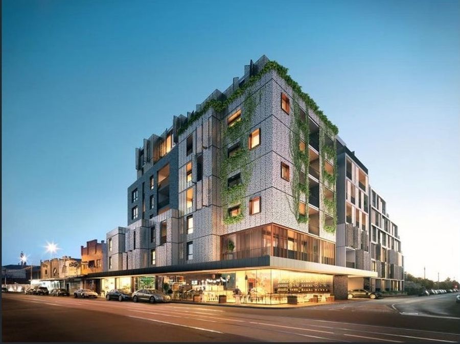
15 Henry StreetNorthcote VIC 3070

Thinking about insurance?
Get estimated rebuild costs for this property with Sum SureProperty Details for 15 Henry St, Northcote
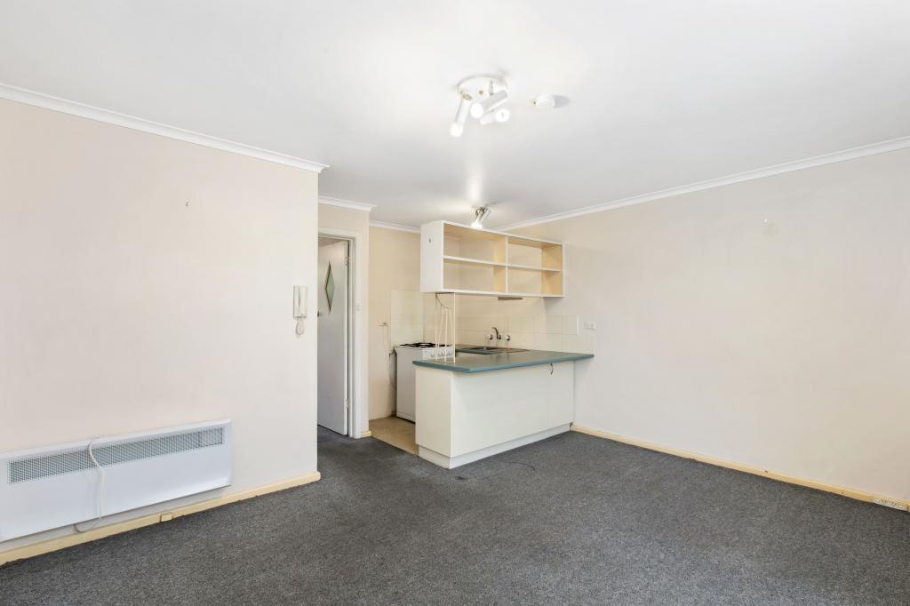
15 Henry St, Northcote is a 4 bedroom, 2 bathroom House. The property has a land size of 274m2 and floor size of 159m2. While the property is not currently for sale or for rent, it was last sold in April 2002.
Last Listing description (May 2025)
Beyond a classic block-fronted faade, this sublimely situated family sanctuary reveals an impressive four bedrooms, spacious study and glorious open plan social heart. Swiftly setting a scene of assured style, high ceilings unite with polished floorboards, elegant shutters, a security system, hydronic heating and cooling. While the main bedroom, with ensuite, enjoys the first floor all to itself, the ground floor highlights a vast open plan living, dining and gourmet kitchen. Combining a 900mm Miele gas cooktop, Blanco steam and convection ovens, Qasair rangehood, Asko dishwasher, waterfall stone island and soft-close storage, the kitchen cant help but compel exacting home chefs. A wide bank of bifold doors leads to a deck and rear garden, hosting a beautiful big tree and handy storage sheds. All bedrooms include built-in robes and some have built-in desks, as does the study. Home to a luxuriously large bath, walk-in shower, wide stone-topped vanity and heated towel rail, the main bathroom is complemented by a powder room and full laundry. A short walk to Northcote Primary and St Josephs Primary, zoned to Northcote High School, this impeccable abode is a stroll to trains and the trams, shops and eateries of vibrant High Street.
Property History for 15 Henry St, Northcote, VIC 3070
- 30 Apr 2025Listed for Sale $2,000,000 - $2,200,000
- 27 Apr 2002Sold for $450,000
- 20 Dec 2001Transferred
Local Area Liveability Score
This Liveability Score is a rating "out of 10" and a guide to how well connected properties within a local area are to facilities such as public transport, healthcare services, shopping outlets, schools and parkland. The scores apply to the local area (or "mesh block") in which a property is located. The scores are largely comprised of 2 main elements:
- Walking time to a local facility
- Number of facilities within a 20-minute walk
The overall Liveability Score is made up of smaller sub-scores, as described below.
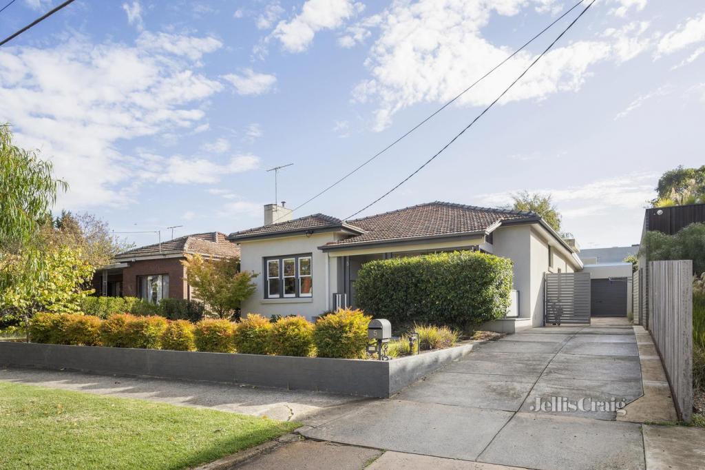
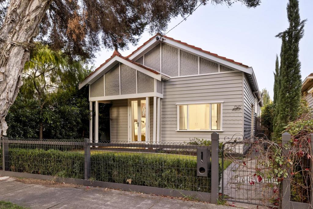
Recent sales nearby
See more recent sales nearbySimilar properties For Sale nearby
See more properties for sale nearby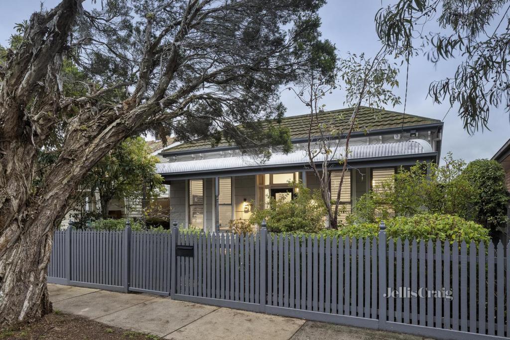
Similar properties For Rent nearby
See more properties for rent nearby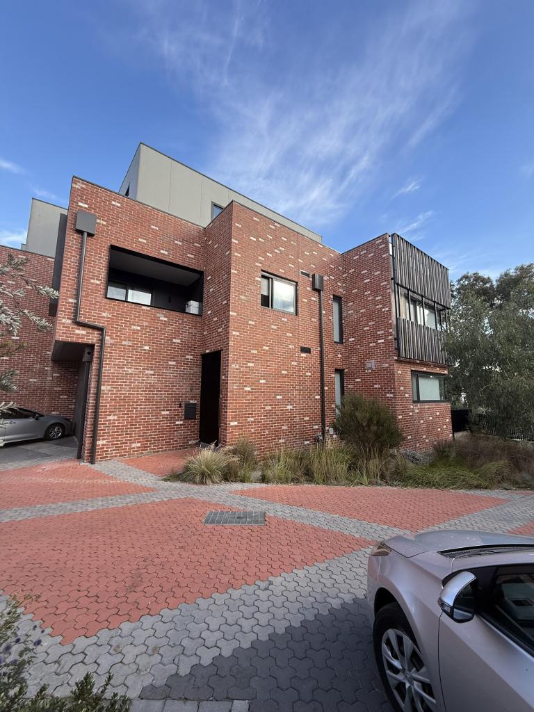
About Northcote 3070
The size of Northcote is approximately 6 square kilometres. It has 23 parks covering nearly 11.3% of total area. The population of Northcote in 2011 was 22,919 people. By 2016 the population was 24,582 showing a population growth of 7.3% in the area during that time. The predominant age group in Northcote is 30-39 years. Households in Northcote are primarily couples with children and are likely to be repaying $1800 - $2399 per month on mortgage repayments. In general, people in Northcote work in a professional occupation. In 2011, 60.7% of the homes in Northcote were owner-occupied compared with 58.6% in 2016.
Northcote has 14,372 properties. Over the last 5 years, Houses in Northcote have seen a 15.28% increase in median value, while Units have seen a -1.73% decrease. As at 30 April 2025:
- The median value for Houses in Northcote is $1,713,907 while the median value for Units is $629,653.
- Houses have a median rent of $750 while Units have a median rent of $570.
What's around 15 Henry St, Northcote
15 Henry St, Northcote is in the school catchment zone for Northcote Primary School and Northcote High School.


Suburb Insights for Northcote 3070
Market Insights
Northcote Trends for Houses
$1.71M
-1.23%
View Trend$750/W
2.53%
Northcote Trends for Units
$630k
-4.48%
View Trend$570/W
4.86%
Neighbourhood Insights
Age
Population 24,582
0-9
11%
10-19
9%
20-29
16%
30-39
19%
40-49
16%
50-59
11%
60-69
7%
70-79
5%
80-89
3%
90-99
1%
Household Structure
Occupancy
© Copyright 2025 RP Data Pty Ltd trading as CoreLogic Asia Pacific (CoreLogic). All rights reserved.
This product uses cookies and other similar technologies to improve and customise your browsing experience, to tailor content and adverts, and for analytics and metrics regarding visitor usage on this product and other media. We may share cookie and analytics information with third parties for the purposes of advertising. By continuing to use our website, you consent to cookies being used. View our Privacy Policy here.
X