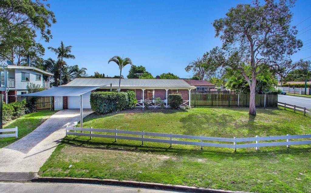
68 Thompson RoadKallangur QLD 4503

Thinking about insurance?
Get estimated rebuild costs for this property with Sum SureProperty Details for 68 Thompson Rd, Kallangur
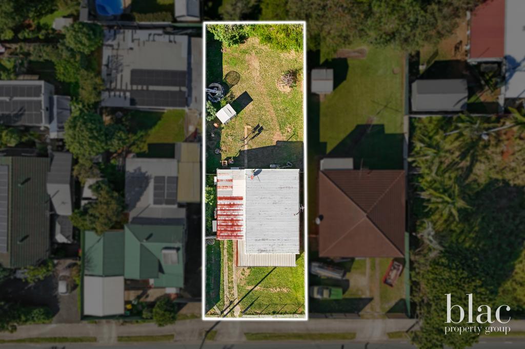
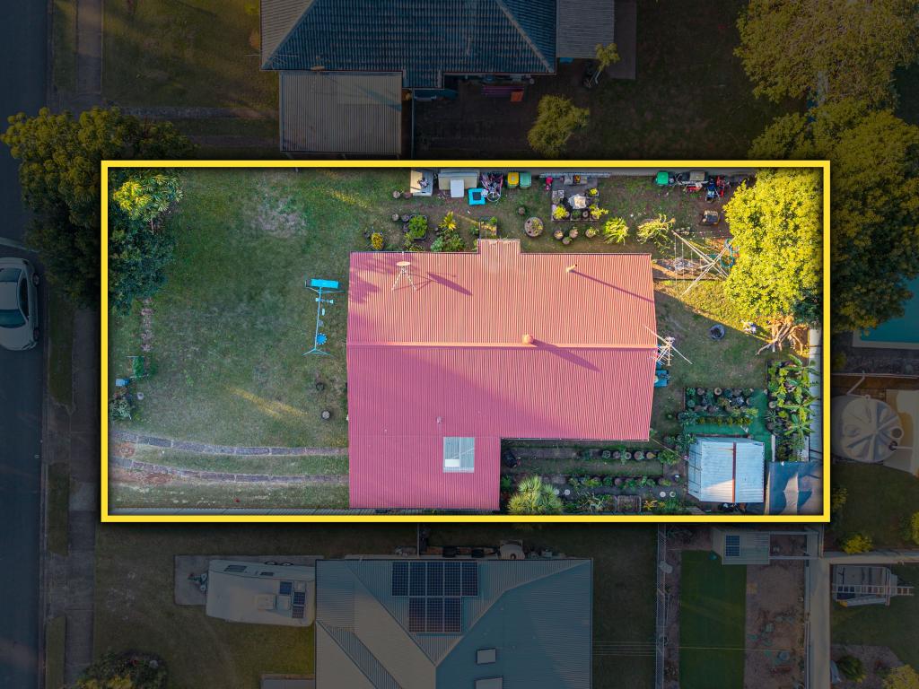
68 Thompson Rd, Kallangur is a 3 bedroom, 1 bathroom House with 1 parking spaces. The property has a land size of 2000m2 and floor size of 100m2. While the property is not currently for sale or for rent, it was last sold in April 2021.
Last Listing description (September 2022)
Great Development Site Zoned Next Generation Neighbourhood
This 2,000 m2 block has existing 3 bedroom house and is situated in an elevated position within walking distance to the local train station.
Surrounded by trees with adjacent bushland reserve, the site offers an ideal opportunity to build up to 3 stories (STCA) given the zoning is Next Generation Neighbourhood.
With abundant bushland, bike tracks, parks, schools, public transport and shops nearby, there are significant opportunities with this site.
The next train stop is the new Petrie University less than 3 minutes away.
Australia's newest uni campus, USC Moreton Bay has opened at Petrie iwith a 16,000sqm state-of-the-art foundation building. By 2030, it is expected USC Moreton Bay will have more than 10,000 students enrolled and more than 100 degrees on offer.
Sites like this are selling fast in Kallangur. Call Melinda for more information.
Property History for 68 Thompson Rd, Kallangur, QLD 4503
- 16 Apr 2021Sold for $700,000
- 20 Aug 2019Listed for Sale Make an Offer
Recent sales nearby
See more recent sales nearbySimilar properties For Sale nearby
See more properties for sale nearby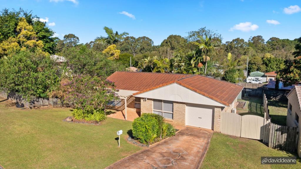
Similar properties For Rent nearby
See more properties for rent nearby
About Kallangur 4503
The size of Kallangur is approximately 11.3 square kilometres. It has 64 parks covering nearly 11.0% of total area. The population of Kallangur in 2016 was 20405 people. By 2021 the population was 21761 showing a population growth of 6.6% in the area during that time. The predominant age group in Kallangur is 30-39 years. Households in Kallangur are primarily couples with children and are likely to be repaying $1400 - $1799 per month on mortgage repayments. In general, people in Kallangur work in a trades occupation.In 2021, 54.50% of the homes in Kallangur were owner-occupied compared with 58.30% in 2016..
Kallangur has 9,707 properties. Over the last 5 years, Houses in Kallangur have seen a 94.83% increase in median value, while Units have seen a 112.38% increase. As at 30 June 2025:
- The median value for Houses in Kallangur is $783,291 while the median value for Units is $602,551.
- Houses have a median rent of $570 while Units have a median rent of $500.
What's around 68 Thompson Rd, Kallangur
68 Thompson Rd, Kallangur is in the school catchment zone for Dakabin State School and Dakabin State High School.


Suburb Insights for Kallangur 4503
Market Insights
Kallangur Trends for Houses
$783k
11.45%
View Trend$570/W
4.09%
Kallangur Trends for Units
$603k
14.18%
View Trend$500/W
4.74%
Neighbourhood Insights
Age
Population 21,761
0-9
14%
10-19
13%
20-29
15%
30-39
15%
40-49
13%
50-59
12%
60-69
9%
70-79
7%
80-89
3%
90-99
1%
Household Structure
Occupancy
© Copyright 2025 RP Data Pty Ltd trading as CoreLogic Asia Pacific (CoreLogic). All rights reserved.
This product uses cookies and other similar technologies to improve and customise your browsing experience, to tailor content and adverts, and for analytics and metrics regarding visitor usage on this product and other media. We may share cookie and analytics information with third parties for the purposes of advertising. By continuing to use our website, you consent to cookies being used. View our Privacy Policy here.
X