
169 St Albans RoadSt Albans VIC 3021
Property Details for 169 St Albans Rd, St Albans
169 St Albans Rd, St Albans is a 4 bedroom, 1 bathroom House with 1 parking spaces and was built in 1970. The property has a land size of 538m2 and floor size of 123m2. While the property is not currently for sale or for rent, it was last sold in August 2007.
Last Listing description (December 2017)
4 good sized bedrooms, 2 with BIR's
Superb spacious sun filled lounge
Kitchen with meals area
Long drive way with ample off street parking & a garage
Hip, hop, skip to Ginifer Train Station & close to Sunshine Hospital
An inspection is highly recommended
https:/?/?www.consumer.vic.gov.au/?duediligencechecklist
Property History for 169 St Albans Rd, St Albans, VIC 3021
- 10 Aug 2017Listed for Sale $1,150,000
- 01 Aug 2007Sold for $283,800
- 13 Sep 2005Listed for Rent - Price not available

Recent sales nearby
See more recent sales nearbySimilar properties For Sale nearby
See more properties for sale nearby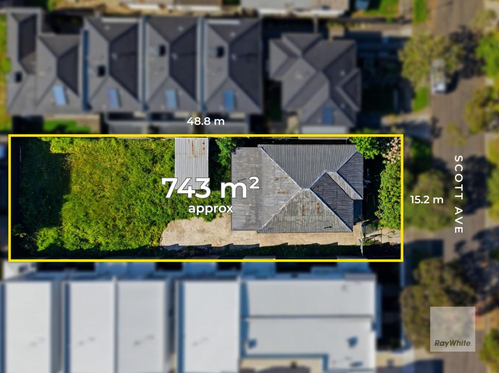 0
0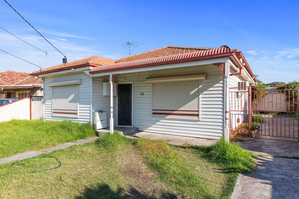 0
0 0
0
Similar properties For Rent nearby
See more properties for rent nearby 0
0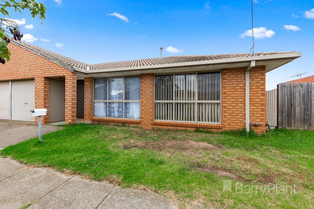 0
0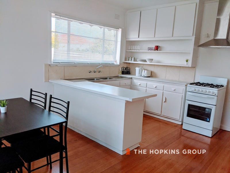 0
0Suburb Insights for St Albans 3021
Market Insights
Trends for Houses
N/A
N/A
View TrendN/A
N/A
Trends for Units
N/A
N/A
View TrendN/A
N/A
Neighbourhood Insights
© Copyright 2026. RP Data Pty Ltd trading as Cotality (Cotality). All rights reserved. No reproduction, distribution, or transmission of the copyrighted materials is permitted. The information is deemed reliable but not guaranteed.
While Cotality uses commercially reasonable efforts to ensure the Cotality Data is current, Cotality does not warrant the accuracy, currency or completeness of the Cotality Data and to the full extent permitted by law excludes all loss or damage howsoever arising (including through negligence) in connection with the Cotality Data.
This product uses cookies and other similar technologies to improve and customise your browsing experience, to tailor content and adverts, and for analytics and metrics regarding visitor usage on this product and other media. We may share cookie and analytics information with third parties for the purposes of advertising. By continuing to use our website, you consent to cookies being used. View our Privacy Policy here.
X